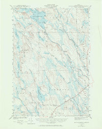
1941 Map of Mattawamkeag Lake
USGS Topo · Published 1970About this map
Wytopitlock Lake and the surrounding unorganized territories of southern Aroostook County are defined by an intricate network of waterways and timber-related infrastructure. The map reveals a landscape dominated by the convergence of the Mattawamkeag River and its various branches, including the West Branch and East Branch. Evidence of local industry and navigation is visible at Moores Dam and Long Dam, while the small settlement of Glenwood and the remote City Camp Landing serve as rare points of habitation in this heavily forested region.
Find a feature on this map
75 named features on this map. Tap any name to fly to it.
Don’t see what you’re looking for? This feature index may not catch every label — zoom into the map to look around manually.
Map Details
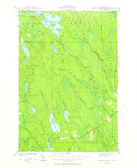
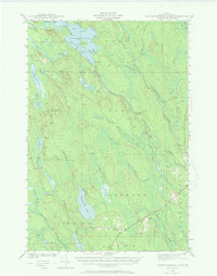
Editions of this 1941 Mattawamkeag Lake Map
4 editions found
Other maps of this area

1937 · Smyrna Mills
USGS Topo · 1:62,500

1938 · Houlton
USGS Topo · 1:62,500

1940 · Danforth
USGS Topo · 1:62,500

1940 · Amity
USGS Topo · 1:62,500

1940 · Island Falls
USGS Topo · 1:62,500

1940 · Sherman
USGS Topo · 1:62,500

1940 · Mattawamkeag
USGS Topo · 1:62,500

1941 · Danforth
USGS Topo · 1:62,500

1941 · Amity
USGS Topo · 1:62,500

1941 · Mattawamkeag Lake
USGS Topo · 1:62,500