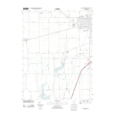
2012 Map of Mattoon West
USGS Topo · Published 2012About this map
The Little Wabash River winds through this central Illinois landscape, defining the character of the rural corridor south of Mattoon. This 2012 survey shows the significant water resources of the region, including the northern portions of Lake Mattoon and the centrally located Lake Paradise. These reservoirs, along with smaller tributaries like Brush Cr and Clear Cr, underscore the area's importance for local water management and recreation. The human landscape is marked by small settlements such as Paradise, Etna, and Wabash Point, alongside institutional landmarks like Lake Land College. For genealogists and local historians, the presence of several established burial grounds, including Calvary Cem, Old Baptist Cem, and Zion Hill Cem, provides a localized record of the families who settled this prairie land. The transport network is a mix of established routes like Old State RD and aviation nodes like Townley Farms Airport, illustrating the ongoing development of Coles County.
Find a feature on this map
79 named features on this map. Tap any name to fly to it.
Don’t see what you’re looking for? This feature index may not catch every label — zoom into the map to look around manually.
Map Details
Editions of this 2012 Mattoon West Map
This is the sole edition of this map. No revisions or reprints were ever made.
Other maps of this area

1934 · Mattoon
USGS Topo · 1:62,500

1935 · Arcola
USGS Topo · 1:48,000

1935 · Sullivan
USGS Topo · 1:48,000

1937 · Mattoon
USGS Topo · 1:62,500

1940 · Sullivan
USGS Topo · 1:62,500

1940 · Arcola
USGS Topo · 1:62,500

1947 · Stewardson
USGS Topo · 1:62,500

1949 · Stewardson
USGS Topo · 1:62,500

1958 · Decatur
USGS Topo · 1:250,000

1961 · Decatur
USGS Topo · 1:250,000