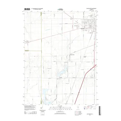
2015 Map of Mattoon West
USGS Topo · Published 2015About this map
The western suburbs of Mattoon and the agricultural landscapes of Coles and Shelby Counties define this Illinois survey. The residential expansion of Lane Acres and the industrial corridors along Marshall Ave give way to a network of rural crossroads and cemeteries. To the south, Lake Paradise and the northern reaches of Lake Mattoon serve as the primary hydrologic anchors, fed by the Little Wabash River and Brush Cr.
Find a feature on this map
58 named features on this map. Tap any name to fly to it.
Don’t see what you’re looking for? This feature index may not catch every label — zoom into the map to look around manually.
Map Details
Editions of this 2015 Mattoon West Map
This is the sole edition of this map. No revisions or reprints were ever made.
Other maps of this area

1934 · Mattoon
USGS Topo · 1:62,500

1935 · Arcola
USGS Topo · 1:48,000

1935 · Sullivan
USGS Topo · 1:48,000

1937 · Mattoon
USGS Topo · 1:62,500

1940 · Sullivan
USGS Topo · 1:62,500

1940 · Arcola
USGS Topo · 1:62,500

1947 · Stewardson
USGS Topo · 1:62,500

1949 · Stewardson
USGS Topo · 1:62,500

1958 · Decatur
USGS Topo · 1:250,000

1961 · Decatur
USGS Topo · 1:250,000