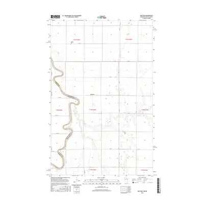
2016 Map of Mattson
USGS Topo · Published 2016About this map
The Red River of the North winds in sharp oxbows through this borderlands region, defining the state line between North Dakota and Minnesota. This 2016 survey shows the landscape of Kittson County and Pembina County dominated by a precise agricultural grid that spans the Red River Valley. The small settlement of Mattson sits along Co Rd 67, serving as a central point in an area where local history is anchored by the Red River Cemetery and Tabitha Lutheran Cemetery. The map captures the interaction between the meandering natural waterway and the rigid township and range system, including t160n r50w and surrounding sections, illustrating how transportation and land division have adapted to the river's frequent shifts.
Find a feature on this map
27 named features on this map. Tap any name to fly to it.
Don’t see what you’re looking for? This feature index may not catch every label — zoom into the map to look around manually.
Map Details
Editions of this 2016 Mattson Map
This is the sole edition of this map. No revisions or reprints were ever made.
Other maps of this area

1939 · Drayton
USGS Topo · 1:62,500

1939 · Pembina
USGS Topo · 1:62,500

1939 · Kennedy
USGS Topo · 1:62,500

1941 · Kennedy
USGS Topo · 1:62,500

1941 · Drayton
USGS Topo · 1:62,500

1941 · Hallock
USGS Topo · 1:62,500

1941 · Pembina
USGS Topo · 1:62,500

1952 · Thief River Falls
USGS Topo · 1:250,000

1956 · Thief River Falls
USGS Topo · 1:250,000

1957 · Thief River Falls
USGS Topo · 1:250,000