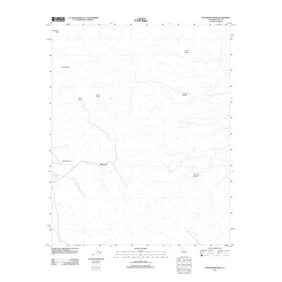
2012 Map of Maturango Peak
USGS Topo · Published 2012About this map
Millspaugh sits at a high elevation within the Argus Range, serving as a focal point for this portion of Inyo County. The terrain is defined by extreme relief, dominated by the massif of Maturango Peak and nearby Parkinson Peak. The landscape is etched with complex drainage systems including Knight Canyon, Bendire Canyon, and Shepherd Canyon, which carve through the high desert geology. To the west, the relatively level ground of Etcharren Valley and the basin of Carricut Lake offer a stark contrast to the surrounding ridges. This 2012 survey illustrates the isolated nature of these desert settlements and the enduring trails and local roads that navigate the difficult geography between the peaks and the valley floors.
Find a feature on this map
10 named features on this map. Tap any name to fly to it.
Don’t see what you’re looking for? This feature index may not catch every label — zoom into the map to look around manually.
Map Details
Editions of this 2012 Maturango Peak Map
This is the sole edition of this map. No revisions or reprints were ever made.
Other maps of this area

1908 · Ballarat
USGS Topo · 1:250,000

1913 · Ballarat
USGS Topo · 1:250,000

1915 · Searles Lake
USGS Topo · 1:250,000

1947 · Trona
USGS Topo · 1:250,000

1948 · Trona
USGS Topo · 1:250,000

1948 · Death Valley
USGS Topo · 1:250,000

1949 · Trona
USGS Topo · 1:62,500

1950 · Trona
USGS Topo · 1:62,500

1951 · Maturango Peak
USGS Topo · 1:62,500

1951 · Coso Peak
USGS Topo · 1:62,500