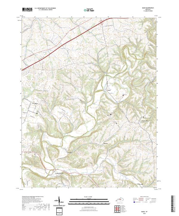
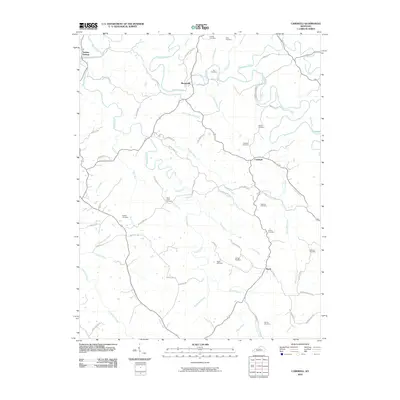
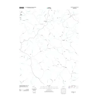
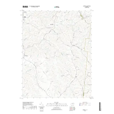
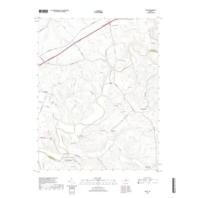
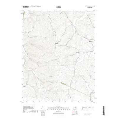
2022 Map of Maud
USGS Topo · Published 2022About this map
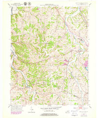
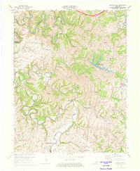
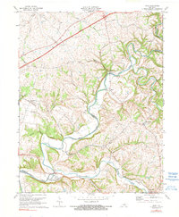
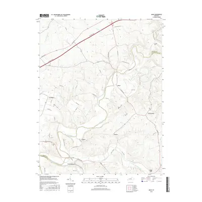
Beech Fork winds through the heart of this landscape, defining the boundary between Nelson and Washington counties. This rural corridor is characterized by a network of small settlements and family-named cemeteries that reflect generations of local residency. Fredericktown and Woodlawn serve as anchor points along the southern and western reaches, while the meandering path of Cartwright Creek and Chaplin River shapes the local topography.
Find a feature on this map
80 named features on this map. Tap any name to fly to it.
Don’t see what you’re looking for? This feature index may not catch every label — zoom into the map to look around manually.
Map Details
Editions of this 2022 Maud Map
This is the sole edition of this map. No revisions or reprints were ever made.
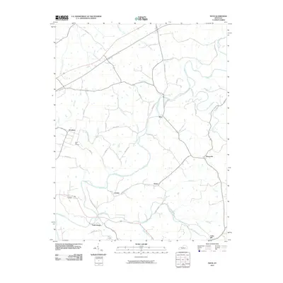
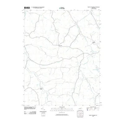
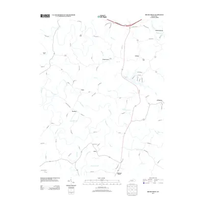
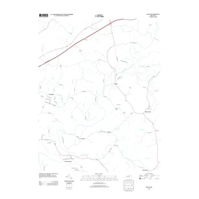
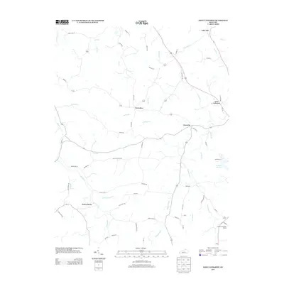
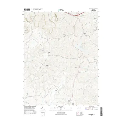
Historical Maps of Woodlawn Through Time
26 maps found
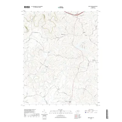
1953 Brush Grove
Washington County, KY
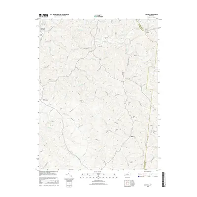
1953 Cardwell
Washington County, KY
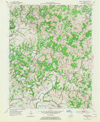
1953 Maud
Washington County, KY
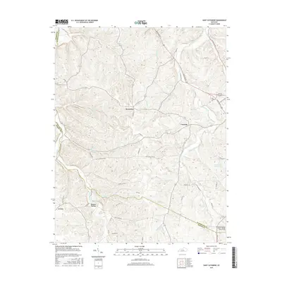
1953 Saint Catharine
Washington County, KY
1972 Brush Grove
Washington County, KY
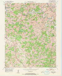
1972 Maud
Washington County, KY
2010 Brush Grove
Washington County, KY
2010 Cardwell
Washington County, KY
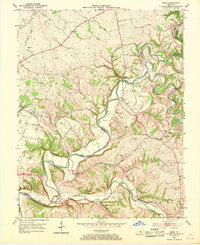
2010 Maud
Washington County, KY
2010 Saint Catharine
Washington County, KY
2013 Brush Grove
Washington County, KY
2013 Cardwell
Washington County, KY
2013 Maud
Washington County, KY
2013 Saint Catharine
Washington County, KY
2016 Brush Grove
Washington County, KY
2016 Cardwell
Washington County, KY
2016 Maud
Washington County, KY
2016 Saint Catharine
Washington County, KY
2019 Brush Grove
Washington County, KY
2019 Cardwell
Washington County, KY
2019 Maud
Washington County, KY
2019 Saint Catharine
Washington County, KY
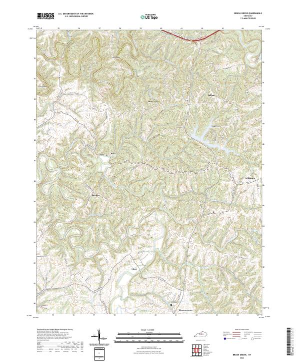
2022 Brush Grove
Washington County, KY
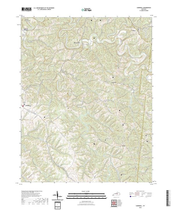
2022 Cardwell
Washington County, KY
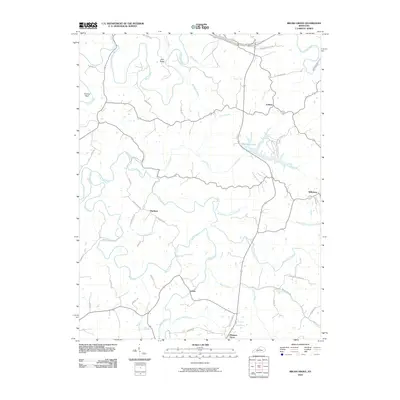
2022 Maud
Washington County, KY
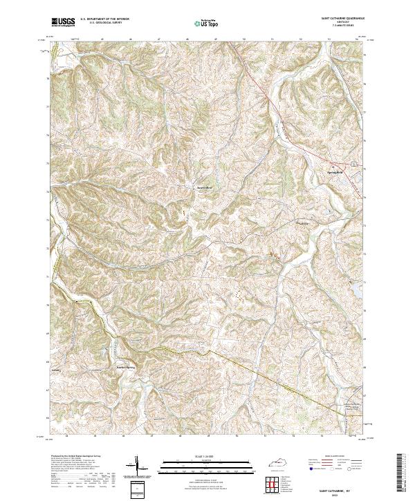
2022 Saint Catharine
Washington County, KY