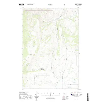
2020 Map of Maudlow
USGS Topo · Published 2020About this map
Maudlow sits at the northern edge of the Horseshoe Hills, where the drainage of Sixteenmile Cr cuts through the dramatic Sixteenmile Canyon. This Gallatin County landscape is defined by deep incisions and high ridges, with Haw Gulch and Quarry Gulch feeding into the primary waterway. The map captures a transition from the public lands of the Helena National Forest in the north to the more open, ranching-oriented terrain further south.
Find a feature on this map
29 named features on this map. Tap any name to fly to it.
Don’t see what you’re looking for? This feature index may not catch every label — zoom into the map to look around manually.
Map Details
Editions of this 2020 Maudlow Map
This is the sole edition of this map. No revisions or reprints were ever made.
Other maps of this area

1886 · Fort Logan
USGS Topo · 1:250,000

1888 · Three Forks
USGS Topo · 1:250,000

1894 · Three Forks
USGS Topo · 1:250,000

1895 · Three Forks
USGS Topo · 1:250,000

1947 · Bozeman
USGS Topo · 1:250,000

1948 · Bozeman
USGS Topo · 1:250,000

1948 · White Sulphur Springs
USGS Topo · 1:250,000

1949 · Manhattan
USGS Topo · 1:62,500

1949 · Maudlow
USGS Topo · 1:62,500

1949 · Toston
USGS Topo · 1:62,500