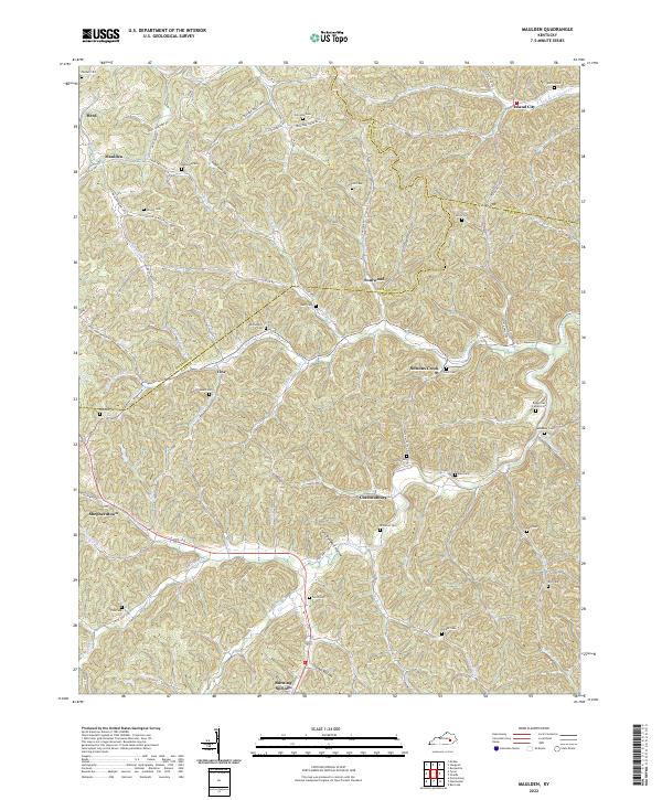
2022 Map of Maulden
USGS Topo · Published 2022About this map
Burning Springs and Island City anchor this portrait of the Eastern Kentucky hills, where the landscape is defined by an intricate network of narrow hollows and winding creek forks. The area is marked by a deep concentration of family burying grounds, such as the Reynolds Cem near Maulden and the Ball Cem further south, illustrating a pattern of multi-generational settlement long after the region's initial development. Transport routes like State Hwy 1350 follow the natural contours of the land, connecting small hamlets like Sourwood and Chestnutburg.
Find a feature on this map
85 named features on this map. Tap any name to fly to it.
Don’t see what you’re looking for? This feature index may not catch every label — zoom into the map to look around manually.
Map Details
Editions of this 2022 Maulden Map
This is the sole edition of this map. No revisions or reprints were ever made.
Other maps of this area

1891 · Manchester
USGS Topo · 1:125,000

1952 · Portersburg
USGS Topo · 1:24,000

1952 · Manchester
USGS Topo · 1:24,000

1953 · Mc Kee
USGS Topo · 1:24,000

1953 · Oneida
USGS Topo · 1:24,000

1953 · Tyner
USGS Topo · 1:24,000

1953 · Booneville
USGS Topo · 1:24,000

1953 · Sturgeon
USGS Topo · 1:24,000

1954 · Barcreek
USGS Topo · 1:24,000

1954 · Maulden
USGS Topo · 1:24,000