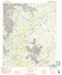
1983 Map of Mauldin
USGS Topo · Published 1983About this map
The expanding suburban landscape of Greenville County is captured here in the early 1980s, revealing the dense network of neighborhoods, schools, and institutional grounds that define the corridor between Greenville and Simpsonville. This provisional study highlights major educational and transit hubs, including the sprawling campus of Bob Jones University in the north and the industrial footprint of Donaldson Center Airport to the south. The development pattern follows the Seaboard rail line and major road arteries, yet significant natural landmarks like Roper Mtn and Conestee Lake remain as anchors in the landscape.
Find a feature on this map
84 named features on this map. Tap any name to fly to it.
Don’t see what you’re looking for? This feature index may not catch every label — zoom into the map to look around manually.
Map Details
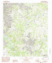
Editions of this 1983 Mauldin Map
2 editions found
Other maps of this area

1935 · Greer
USGS Topo · 1:48,000

1935 · Greenville
USGS Topo · 1:48,000

1938 · Greenville
USGS Topo · 1:62,500

1938 · Greer
USGS Topo · 1:62,500

1954 · Greenville
USGS Topo · 1:250,000

1957 · Fountain Inn
USGS Topo · 1:62,500

1957 · Greenville
USGS Topo · 1:24,000

1957 · Williamston
USGS Topo · 1:62,500

1957 · Greer
USGS Topo · 1:62,500

1957 · Greenville
USGS Topo · 1:62,500