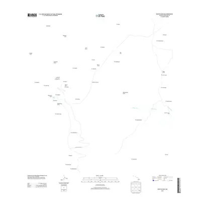
2013 Map of Mauna Kea
USGS Topo · Published 2013About this map
Mauna Kea dominates this high-altitude landscape, featuring the renowned Mauna Kea Observatories and the unique alpine waters of Lake Waiau. The topography is defined by a dense concentration of volcanic cones, or pu'u, including Pu'u Wēkiu, Pu'u Poliahu, and Pu'u Hau'oki. These peaks form the headwaters for several major drainage systems, including the Wailuku River and the 'Āwehi Stream that cut through the eastern slopes. Human infrastructure is minimal at these elevations, centered primarily on the scientific installations and the Mauna Kea Access Rd that climbs toward the summit. On the lower eastern reaches, the Kahinahina Forest Cabin provides a rare point of shelter amidst a network of deep gulches like Waipāhoehoe Gulch and Nāuhi Gulch.
Find a feature on this map
46 named features on this map. Tap any name to fly to it.
Don’t see what you’re looking for? This feature index may not catch every label — zoom into the map to look around manually.
Map Details
Editions of this 2013 Mauna Kea Map
This is the sole edition of this map. No revisions or reprints were ever made.
Other maps of this area

1927 · Kaohe
USGS Topo · 1:62,500

1930 · Humuula
USGS Topo · 1:62,500

1930 · Kaohe
USGS Topo · 1:62,500

1954 · Hawaii North
USGS Topo · 1:250,000

1956 · Puu Oo
USGS Topo · 1:24,000

1956 · Pua Akala
USGS Topo · 1:24,000

1956 · Puu Koli
USGS Topo · 1:24,000

1956 · Keanakolu
USGS Topo · 1:24,000

1956 · Upper Piihonua
USGS Topo · 1:24,000

1956 · Makahalau
USGS Topo · 1:24,000