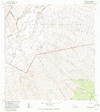
1981 Map of Mauna Loa
USGS Topo · Published 1981About this map
The summit of Mauna Loa dominates this 1981 revision, centered on the massive Mokuaweoweo caldera. This active volcanic landscape is defined by its recent history, showing the distinct outlines of the Lava Flow of 1949 and the Lava Flow of 1975 cutting across the terrain. For those exploring the high-altitude backcountry of Hawaii Volcanoes National Park, the map identifies critical infrastructure including the Mauna Loa Cabin and Jaggars Cave (Shelter), alongside the established Mauna Loa Trail and Ainapo Trail.
Find a feature on this map
29 named features on this map. Tap any name to fly to it.
Don’t see what you’re looking for? This feature index may not catch every label — zoom into the map to look around manually.
Map Details
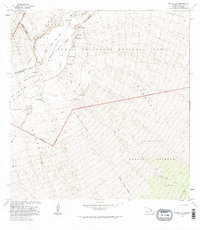
Editions of this 1981 Mauna Loa Map
2 editions found
Other maps of this area

1921 · Kilauea
USGS Topo · 1:62,500

1924 · Kilauea
USGS Topo · 1:62,500

1927 · Kaohe
USGS Topo · 1:62,500

1928 · Mauna Loa
USGS Topo · 1:62,500

1930 · Humuula
USGS Topo · 1:62,500

1930 · Kaohe
USGS Topo · 1:62,500

1954 · Hawaii South
USGS Topo · 1:250,000

1954 · Hawaii North
USGS Topo · 1:250,000
1956 · Puu Ulaula
USGS Topo · 1:24,000

1956 · Puu O Uo
USGS Topo · 1:24,000