Loading...
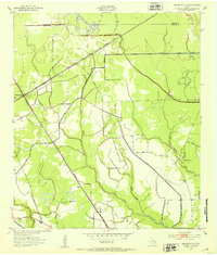
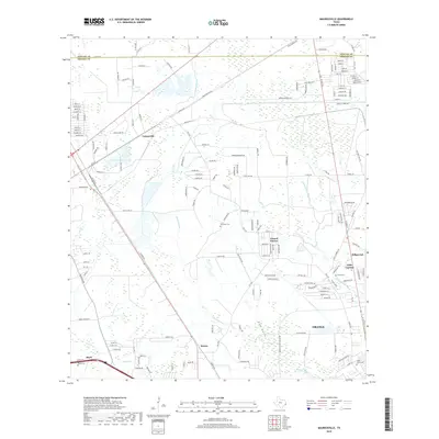
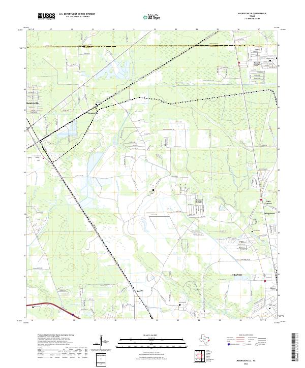
Loading map...1957 Map of Mauriceville
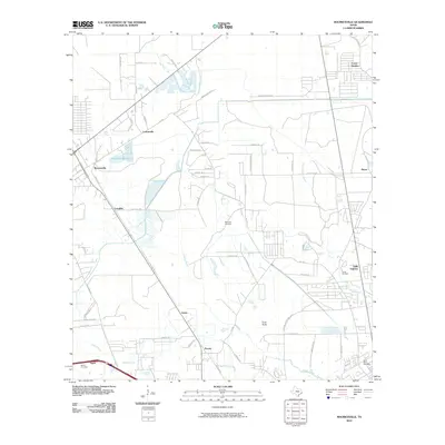
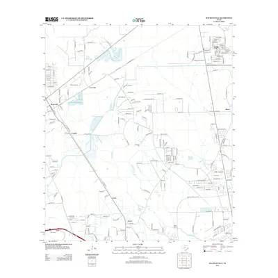
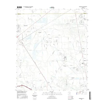
USGS Topo · Published 1972About this map
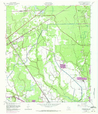
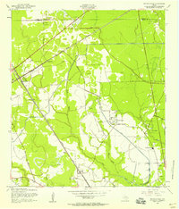
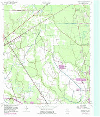
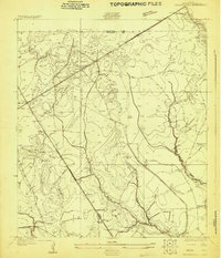
Industrial and agricultural development in Orange County is meticulously documented in this mid-century survey, which tracks the evolution of the landscape near the Sabine River. The area is a critical junction for rail transport, featuring the intersection of the Southern Pacific, Kansas City Southern, and Missouri Pacific lines. These corridors facilitated the growth of timber and oil interests, evidenced by numerous Oil Wells and a Borrow Pit near Mauriceville.
Find a feature on this map
38 named features on this map. Tap any name to fly to it.
Don’t see what you’re looking for? This feature index may not catch every label — zoom into the map to look around manually.
Map Details
Date Portrayed1957
Date Published1972
PublisherU.S. Geological Survey
Map TypeTopographic
Scale1:24,000
Physical Dimensions23.1 x 27 inches
Editions of this 1957 Mauriceville Map
Historical Maps of Orange Through Time
8 maps found
Featured Locations
Source Details
SourceU.S. Geological Survey
CopyrightPublic Domain