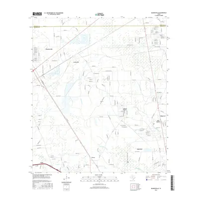
2016 Map of Mauriceville
USGS Topo · Published 2016About this map
Adams Bayou and Little Cypress Bayou weave through this section of the Texas coastal plain, defining a landscape of low-lying wetlands and established residential developments north of Orange. The settlement of Mauriceville serves as a primary hub in the northwest, while smaller communities like Lemonville, Peveto, and Stark are situated along the roadway network and rail corridors.
Find a feature on this map
128 named features on this map. Tap any name to fly to it.
Don’t see what you’re looking for? This feature index may not catch every label — zoom into the map to look around manually.
Map Details
Editions of this 2016 Mauriceville Map
This is the sole edition of this map. No revisions or reprints were ever made.
Other maps of this area

1926 · Terry
USGS Topo · 1:24,000

1926 · Texla
USGS Topo · 1:24,000

1926 · Mauriceville
USGS Topo · 1:24,000

1932 · Orange
USGS Topo · 1:62,500

1943 · Orangefield
USGS Topo · 1:24,000

1943 · Mauriceville
USGS Topo · 1:24,000

1943 · Terry
USGS Topo · 1:24,000

1943 · Texla
USGS Topo · 1:24,000

1946 · Phoenix Lake
USGS Topo · 1:31,680

1947 · Starks
USGS Topo · 1:31,680