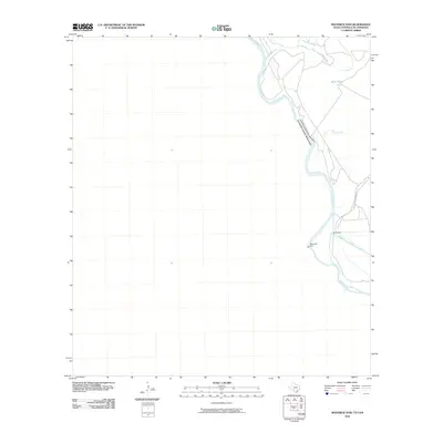
2010 Map of Maverick Dam
USGS Topo · Published 2010About this map
The Rio Grande serves as the central focal point of this borderlands survey, defining the international boundary between the United States and Mexico. This region is characterized by the vital water infrastructure necessary for arid-land agriculture and ranching, most notably the Maverick Dam and its associated Headgates. These features manage the flow into the Maverick County Canal, which parallels the river on the Texas side. The landscape is marked by intermittent drainages such as Sacatosa Creek, Sycamore Creek, and Isleta Creek, which carve through the terrain to join the main river. Cattle ranching heritage is evidenced by the presence of Mare Tank and the long stretch of Bill Moody Ranch Rd that provides access to the remote riverbank country north of the dam.
Find a feature on this map
10 named features on this map. Tap any name to fly to it.
Don’t see what you’re looking for? This feature index may not catch every label — zoom into the map to look around manually.
Map Details
Editions of this 2010 Maverick Dam Map
This is the sole edition of this map. No revisions or reprints were ever made.
Other maps of this area

1941 · Standart
USGS Topo · 1:62,500

1941 · Tequesquite Creek
USGS Topo · 1:62,500

1943 · Standart
USGS Topo · 1:62,500

1943 · Del Rio
USGS Topo · 1:62,500

1944 · Sycamore Ranch
USGS Topo · 1:62,500

1944 · Tequesquite Creek
USGS Topo · 1:62,500

1958 · Del Rio
USGS Topo · 1:250,000

1964 · Del Rio
USGS Topo · 1:250,000

1972 · Del Rio SW
USGS Topo · 1:24,000

1972 · Del Rio SE
USGS Topo · 1:24,000