
1972 Map of Del Rio SW
USGS Topo · Published 1975About this map
Del Rio occupies the northeastern corner of this borderlands survey, where the established grid of the town meets the vital waters of the Rio Grande. The landscape is defined by the international boundary between the United States and Mexico, marked by the International Bridge and U S Customs facility. Inland, the hydrology of the region is centered on the San Felipe Sprs and the winding course of Cienegas Creek, which flows past several Gravel Pits toward the river.
Find a feature on this map
95 named features on this map. Tap any name to fly to it.
Don’t see what you’re looking for? This feature index may not catch every label — zoom into the map to look around manually.
Map Details
Editions of this 1972 Del Rio SW Map
This is the sole edition of this map. No revisions or reprints were ever made.
Other maps of this area

1943 · Devils River
USGS Topo · 1:62,500

1943 · Del Rio
USGS Topo · 1:62,500

1944 · Sycamore Ranch
USGS Topo · 1:62,500

1944 · Devils River
USGS Topo · 1:62,500

1958 · Del Rio
USGS Topo · 1:250,000

1964 · Del Rio
USGS Topo · 1:250,000

1972 · Amistad Dam
USGS Topo · 1:24,000

1972 · Del Rio SE
USGS Topo · 1:24,000
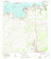
1972 · Del Rio NW
USGS Topo · 1:24,000
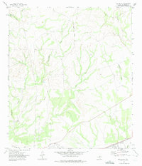
1972 · Del Rio NE
USGS Topo · 1:24,000