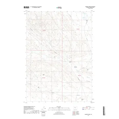
2017 Map of Maverick Spring
USGS Topo · Published 2017About this map
Sheldon Dome and Little Dome rise above the high-desert terrain of Fremont County, anchoring a landscape defined by seasonal drainages and remote ranching access. This 2017 survey by the U.S. Geological Survey documents the intricate topography of the Wind River Basin, where water is the primary sculptor of the land. Features like Teapot Wash and Paintpot Draw reveal the erosive power of occasional runoff, while Maverick Spring and the Barquin Reservoir represent critical water sources in an otherwise arid environment.
Find a feature on this map
21 named features on this map. Tap any name to fly to it.
Don’t see what you’re looking for? This feature index may not catch every label — zoom into the map to look around manually.
Map Details
Editions of this 2017 Maverick Spring Map
This is the sole edition of this map. No revisions or reprints were ever made.
Other maps of this area

1904 · Kirwin
USGS Topo · 1:125,000

1906 · Kirwin
USGS Topo · 1:125,000

1951 · Lookout Butte SW
USGS Topo · 1:24,000

1951 · Eagle Point
USGS Topo · 1:24,000

1951 · Lookout Butte
USGS Topo · 1:24,000

1951 · Maverick Spring
USGS Topo · 1:24,000

1952 · Antelope Ridge
USGS Topo · 1:24,000

1952 · Crowheart Butte
USGS Topo · 1:24,000

1952 · Crowheart NE
USGS Topo · 1:24,000

1952 · Bargee
USGS Topo · 1:24,000