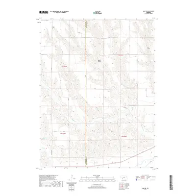
2017 Map of Max NE
USGS Topo · Published 2017About this map
Ash Grove Cem stands as a primary point of historical interest in this high-plains landscape where the Dundy and Hitchcock county line divides the terrain. The map reveals a deeply dissected topography defined by the drainage systems of E Muddy Cr, Muddy Cr, and Spring Br. These seasonal watercourses have carved significant features such as Milken Canyon and Hay Canyon into the Nebraska prairie. Human influence is marked primarily by a rigid section-line road network, including the aptly named Wash Board Rd, and water management features like Gardner Reservoir. This survey provides a clear view of the ranching and agricultural layout of the region, showing how property boundaries and infrastructure adapt to the natural draws and ridges of the Platte River basin watershed.
Find a feature on this map
31 named features on this map. Tap any name to fly to it.
Don’t see what you’re looking for? This feature index may not catch every label — zoom into the map to look around manually.
Map Details
Editions of this 2017 Max NE Map
This is the sole edition of this map. No revisions or reprints were ever made.
Other maps of this area

1954 · McCook
USGS Topo · 1:250,000

1957 · McCook
USGS Topo · 1:250,000

1958 · McCook
USGS Topo · 1:250,000

1962 · Trenton SW
USGS Topo · 1:24,000
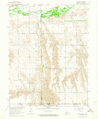
1962 · Max SE
USGS Topo · 1:24,000

1962 · Stratton
USGS Topo · 1:24,000

1962 · Max NE
USGS Topo · 1:24,000
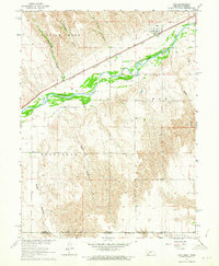
1962 · Max
USGS Topo · 1:24,000

1973 · Wauneta SW
USGS Topo · 1:24,000
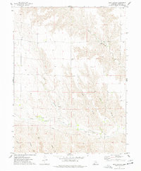
1973 · Rock Canyon
USGS Topo · 1:24,000