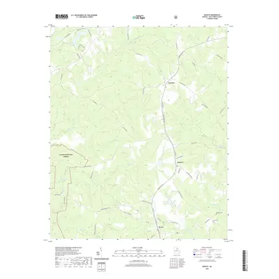
2020 Map of Maxeys
USGS Topo · Published 2020About this map
The Oconee National Forest occupies the southwestern corner of this Oglethorpe County landscape, where the headwaters of Falling Cr and Sandy Cr begin their descent through the rolling terrain. The central corridor is defined by the historic community of Stephens and the town of Maxeys further south, both situated along a north-south transit spine reflected today by Railroad St and Union Point Rd. This area reflects the agrarian and forestry roots of the Georgia Piedmont, evidenced by the network of farm-to-market roads and the winding path of the North Fork Little River. Local genealogy is anchored by sites such as McWhorter Cem and Moody Cem, which sit near the eastern boundary where Raiden Cr flows, marking family legacies in this rural stretch between Athens and the Oconee river basin.
Find a feature on this map
65 named features on this map. Tap any name to fly to it.
Don’t see what you’re looking for? This feature index may not catch every label — zoom into the map to look around manually.
Map Details
Editions of this 2020 Maxeys Map
This is the sole edition of this map. No revisions or reprints were ever made.
Other maps of this area

1953 · Athens
USGS Topo · 1:250,000

1958 · Athens
USGS Topo · 1:250,000

1959 · Athens
USGS Topo · 1:250,000

1963 · Athens
USGS Topo · 1:250,000

1964 · Barnett Shoals
USGS Topo · 1:24,000
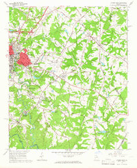
1964 · Athens East
USGS Topo · 1:24,000

1965 · Woodville
USGS Topo · 1:24,000
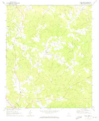
1971 · Sandy Cross
USGS Topo · 1:24,000
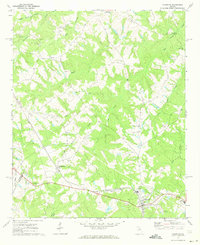
1971 · Crawford
USGS Topo · 1:24,000

1971 · Maxeys
USGS Topo · 1:24,000