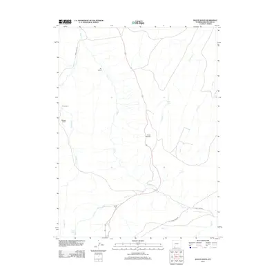
2012 Map of Maxon Ranch
USGS Topo · Published 2012About this map
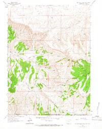
Maxon Ranch and Ramsay Ranch anchor this high-desert region of Sweetwater County, where the landscape is defined by a network of intermittent drainage and vital water sources. The terrain transitions from the open flats of Ramsay Desert and Dry Hollow to the prominent heights of Mellor Mountain. These ranching outposts rely on a series of scattered water points, including Camp Creek Springs, Maggie Springs, and Poison Spring, which provided essential lifelines in an arid environment. The map details the local transportation and utility infrastructure necessary for life in the Wyoming basin, specifically following the path of Ramsey Ranch Rd and the industrial corridor of Clay Basin Pipeline Rd. Numerous creeks, such as Little Bitter Cr and Gooseberry Cr, etch through the territory, illustrating the complex hydrology that governs movement and settlement across the sagebrush-covered plains.
Find a feature on this map
16 named features on this map. Tap any name to fly to it.
Don’t see what you’re looking for? This feature index may not catch every label — zoom into the map to look around manually.
Map Details
Editions of this 2012 Maxon Ranch Map
This is the sole edition of this map. No revisions or reprints were ever made.
Other maps of this area

1954 · Rock Springs
USGS Topo · 1:250,000

1957 · Currant Creek Ranch
USGS Topo · 1:62,500

1957 · Firehole Basin
USGS Topo · 1:62,500

1958 · Rock Springs
USGS Topo · 1:250,000

1962 · Rock Springs
USGS Topo · 1:250,000
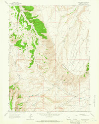
1963 · Maxon Ranch
USGS Topo · 1:24,000
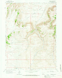
1963 · Titsworth Gap
USGS Topo · 1:24,000
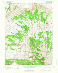
1963 · Richards Gap
USGS Topo · 1:24,000
1963 · Red Creek Ranch
USGS Topo · 1:24,000

1966 · Firehole Basin
USGS Topo · 1:62,500