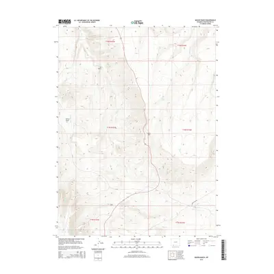
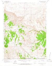
2015 Map of Maxon Ranch
USGS Topo · Published 2015About this map
Maxon Ranch serves as the namesake for this high-altitude landscape in Sweetwater County, where the high desert meets the foothills of the Wyoming range. The terrain is defined by dramatic elevation changes, rising from the Dry Hollow and the Ramsay Desert toward the prominent height of Mellor Mtn. Water is the lifeblood of this arid environment, marked by critical reliable sources such as Maggie Springs, Poison Spring, and Camp Creek Springs. The map documents a network of intermittent drainages like Sage Cr, Trout Cr, and Gooseberry Cr that carve through the landscape. Infrastructure is sparse but purposeful, including the Clay Basin Pipeline Rd and CR-34, illustrating the remote ranching and energy extraction character of the region in the early twenty-first century.
Find a feature on this map
21 named features on this map. Tap any name to fly to it.
Don’t see what you’re looking for? This feature index may not catch every label — zoom into the map to look around manually.
Map Details
Editions of this 2015 Maxon Ranch Map
This is the sole edition of this map. No revisions or reprints were ever made.
Other maps of this area

1954 · Rock Springs
USGS Topo · 1:250,000

1957 · Currant Creek Ranch
USGS Topo · 1:62,500

1957 · Firehole Basin
USGS Topo · 1:62,500

1958 · Rock Springs
USGS Topo · 1:250,000

1962 · Rock Springs
USGS Topo · 1:250,000
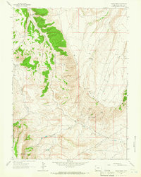
1963 · Maxon Ranch
USGS Topo · 1:24,000
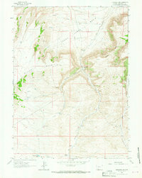
1963 · Titsworth Gap
USGS Topo · 1:24,000
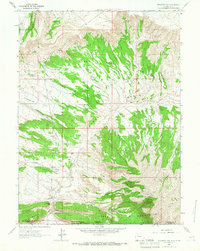
1963 · Richards Gap
USGS Topo · 1:24,000
1963 · Red Creek Ranch
USGS Topo · 1:24,000

1966 · Firehole Basin
USGS Topo · 1:62,500