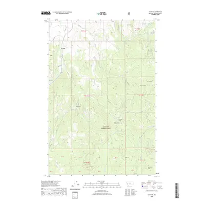
2020 Map of Maxville
USGS Topo · Published 2020About this map
Maxville and Princeton sit within the high-elevation drainages of Deerlodge National Forest, serving as focal points for this 2020 topographic survey of Granite County. The landscape is defined by the steep descent of Flint Cr and Boulder Cr, with the latter feeding into Swamp Gulch south of the settlement at Princeton. Significant landmarks including Douglas Mtn and Mt Princeton overlook a complex network of forest roads, such as Gird Creek Rd and Maxville Rd, which trace the gulches and ridges that once supported the region's historical mining and timber activities.
Find a feature on this map
52 named features on this map. Tap any name to fly to it.
Don’t see what you’re looking for? This feature index may not catch every label — zoom into the map to look around manually.
Map Details
Editions of this 2020 Maxville Map
This is the sole edition of this map. No revisions or reprints were ever made.
Other maps of this area

1908 · Philipsburg
USGS Topo · 1:125,000

1919 · Drummond
USGS Topo · 1:125,000

1921 · Drummond
USGS Topo · 1:125,000

1947 · Butte
USGS Topo · 1:250,000

1958 · Butte
USGS Topo · 1:250,000

1958 · Drummond
USGS Topo · 1:62,500

1959 · Bearmouth
USGS Topo · 1:62,500

1960 · Butte
USGS Topo · 1:250,000

1962 · Butte
USGS Topo · 1:250,000

1971 · Henderson Mountain
USGS Topo · 1:24,000