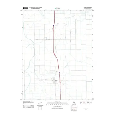
2012 Map of Maxwell
USGS Topo · Published 2012About this map
The town of Maxwell serves as the central hub of this agricultural landscape in the Sacramento Valley during the early 21st century. The map illustrates a highly managed water system essential for the region's farming, anchored by the prominent Glenn-Colusa Canal and supplemented by natural watercourses such as Funks Creek and Stone Corral Creek. Just north of the main settlement lies the community of Delevan, situated along the transportation corridor shaped by Old Hwy 99W. For local researchers, the Maxwell Cem and the central post office provide important genealogical and social markers within the grid-based township. The presence of Moller Airport and a dense network of rural roads like Maxwell Rd and Sutton Rd further reflect the area's development as an integrated agricultural and transport zone between the coastal ranges and the Sacramento River.
Find a feature on this map
38 named features on this map. Tap any name to fly to it.
Don’t see what you’re looking for? This feature index may not catch every label — zoom into the map to look around manually.
Map Details
Editions of this 2012 Maxwell Map
This is the sole edition of this map. No revisions or reprints were ever made.
Other maps of this area

1904 · Logan Creek
USGS Topo · 1:24,000

1904 · Sites
USGS Topo · 1:24,000

1905 · Fairview
USGS Topo · 1:24,000

1906 · Maxwell
USGS Topo · 1:62,500

1907 · Colusa
USGS Topo · 1:62,500

1917 · Logandale
USGS Topo · 1:31,680

1917 · Compton Landing
USGS Topo · 1:31,680

1917 · Sites
USGS Topo · 1:31,680

1917 · Delevan
USGS Topo · 1:31,680

1918 · Williams
USGS Topo · 1:31,680