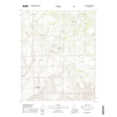
2018 Map of May Tank Pocket
USGS Topo · Published 2018About this map
The Overland Road Historic Trail carves a path through the high desert and canyon country of Kaibab National Forest, following a route that long predates modern infrastructure. This landscape is defined by its vital water sources, with clusters of springs such as Summit Spring, Bear Springs, and Stewart Spring providing life-sustaining points in a territory of mesas and deep drainages. The convergence of the historic trail with the more recent Great Western Trail highlights the area's ongoing importance as a corridor for movement across northern Arizona.
Find a feature on this map
78 named features on this map. Tap any name to fly to it.
Don’t see what you’re looking for? This feature index may not catch every label — zoom into the map to look around manually.
Map Details
Editions of this 2018 May Tank Pocket Map
This is the sole edition of this map. No revisions or reprints were ever made.
Other maps of this area

1886 · Chino
USGS Topo · 1:250,000

1887 · Prescott
USGS Topo · 1:250,000

1891 · Chino
USGS Topo · 1:250,000

1892 · Prescott
USGS Topo · 1:250,000

1905 · Jerome
USGS Topo · 1:125,000

1922 · Williams
USGS Topo · 1:125,000

1944 · Clarkdale
USGS Topo · 1:48,000

1947 · Ash Fork
USGS Topo · 1:62,500

1947 · Paulden
USGS Topo · 1:62,500

1948 · Ash Fork
USGS Topo · 1:63,360