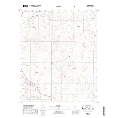
2018 Map of Mayer
USGS Topo · Published 2018About this map
The Agua Fria River corridor in central Arizona serves as the primary drainage through this landscape, flowing past the communities of Dewey-Humboldt and Mayer. This 2018 survey documents the residential development pattern near the river, where roads like Agua Fria Ln and Beverly Hills Dr meet the natural terrain of Chaparral Gulch and Galena Gulch. The southern portion of the sheet is marked by the historical Mayer Cem and the confluence of Big Bug Cr and Hackberry Cr, providing a detailed view of the area's water sources and local landmarks.
Find a feature on this map
58 named features on this map. Tap any name to fly to it.
Don’t see what you’re looking for? This feature index may not catch every label — zoom into the map to look around manually.
Map Details
Editions of this 2018 Mayer Map
This is the sole edition of this map. No revisions or reprints were ever made.
Other maps of this area

1887 · Prescott
USGS Topo · 1:250,000

1892 · Prescott
USGS Topo · 1:250,000

1903 · Bradshaw Mountains
USGS Topo · 1:125,000

1905 · Jerome
USGS Topo · 1:125,000

1944 · Mingus Mountain
USGS Topo · 1:62,500

1947 · Mingus Mtn
USGS Topo · 1:62,500

1947 · Mayer
USGS Topo · 1:62,500

1947 · Mt. Union
USGS Topo · 1:62,500

1947 · Prescott
USGS Topo · 1:62,500

1948 · Mt. Union
USGS Topo · 1:63,360