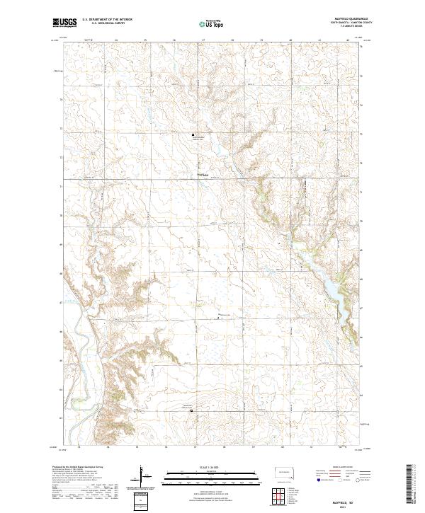
2021 Map of Mayfield
USGS Topo · Published 2021About this map
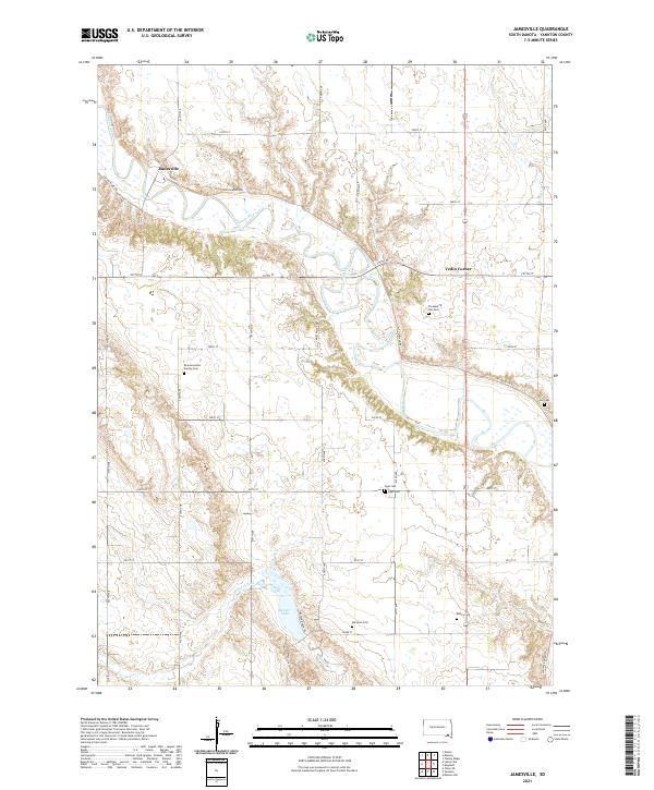
Mayfield and the surrounding farmland of Yankton County appear here in a meticulous 21st-century survey, defined by the steady paths of the James River and its various tributaries. The landscape is carved by the winding course of Smoky Run as it cuts through the township towards the southwest, while Clay Cr, Mud Cr, and the James River dominate the lower western reaches. This area is a patchwork of rural township lines, including t96n r55w and t95n r54w, where the local heritage is preserved in sites like Saint Columba Catholic Cem and the twin locations of Walshtown Cem and Walshtown Catholic Cem. The road network is a strict grid of numeric avenues and streets, such as 297th ST and 444th Ave, reflecting the enduring agricultural layout of the Dakotas.
Find a feature on this map
31 named features on this map. Tap any name to fly to it.
Don’t see what you’re looking for? This feature index may not catch every label — zoom into the map to look around manually.
Map Details
Editions of this 2021 Mayfield Map
This is the sole edition of this map. No revisions or reprints were ever made.
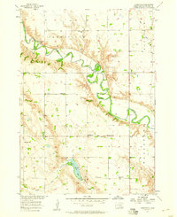
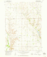
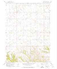
Historical Maps of Mayfield Through Time
7 maps found
Featured Locations
- Marindahl Township, SD
- Mayfield Township, SD
- Turkey Valley Township, SD
- Walshtown Township, SD
- Mayfield, Mayfield Township