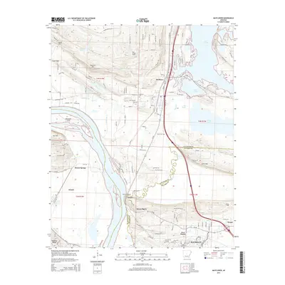
2014 Map of Mayflower
USGS Topo · Published 2014About this map
The Lake Conway shoreline and the winding Arkansas River define the landscape of this region north of Little Rock. Modern suburban expansion in Maumelle and the growth of Mayflower contrast with the older rural landmarks that dot the countryside. Near the river, the unique geology of Natural Steps and the heights of Moss Mtn overlook Beaverdam Island. Further inland, the map captures the transition from bottomlands like Bell Slough and Palarm Cr to the more varied elevations of Rocky Gap and Clifton Mtn. Small communities and family landmarks, including Monnie Springs and Mount Pilgrim, are interspersed among a network of local roads and state highways like Ar-300. This survey documents a period of significant residential development along the interstate corridor while traditional landforms and the Mayflower Cem remain as physical links to the area's established history.
Find a feature on this map
140 named features on this map. Tap any name to fly to it.
Don’t see what you’re looking for? This feature index may not catch every label — zoom into the map to look around manually.
Map Details
Editions of this 2014 Mayflower Map
This is the sole edition of this map. No revisions or reprints were ever made.
Other maps of this area

1890 · Benton
USGS Topo · 1:125,000

1891 · Little Rock
USGS Topo · 1:125,000

1892 · Morrillton
USGS Topo · 1:125,000

1893 · Little Rock
USGS Topo · 1:125,000

1894 · Morrillton
USGS Topo · 1:125,000

1894 · Benton
USGS Topo · 1:125,000

1935 · North Little Rock
USGS Topo · 1:24,000

1943 · Pinnacle Mtn
USGS Topo · 1:31,680

1953 · Cato
USGS Topo · 1:24,000

1953 · Mayflower
USGS Topo · 1:24,000