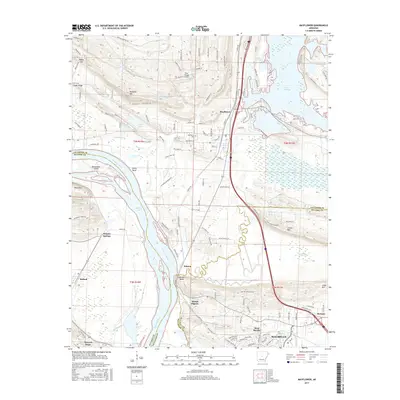
2017 Map of Mayflower
USGS Topo · Published 2017About this map
Arkansas River bends south through this central Arkansas landscape, defining the boundary between Faulkner and Pulaski counties. The town of Mayflower sits at the northern edge, bordered by the expansive waters of Lake Conway and Bell Slough. The terrain transitions from the low-lying wetlands of Grassy Lake and Tupelo Gum Pond to the elevated heights of Reynolds Mtn and Clifton Mtn.
Find a feature on this map
132 named features on this map. Tap any name to fly to it.
Don’t see what you’re looking for? This feature index may not catch every label — zoom into the map to look around manually.
Map Details
Editions of this 2017 Mayflower Map
This is the sole edition of this map. No revisions or reprints were ever made.
Other maps of this area

1890 · Benton
USGS Topo · 1:125,000

1891 · Little Rock
USGS Topo · 1:125,000

1892 · Morrillton
USGS Topo · 1:125,000

1893 · Little Rock
USGS Topo · 1:125,000

1894 · Morrillton
USGS Topo · 1:125,000

1894 · Benton
USGS Topo · 1:125,000

1935 · North Little Rock
USGS Topo · 1:24,000

1943 · Pinnacle Mtn
USGS Topo · 1:31,680

1953 · Cato
USGS Topo · 1:24,000

1953 · Mayflower
USGS Topo · 1:24,000