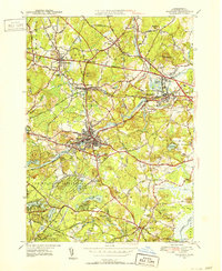
1950 Map of Maynard
USGS Topo · Published 1952About this map
Maynard and the surrounding Middlesex County villages are captured here during a period of postwar stability, characterized by a dense network of water-powered industrial sites and established rail corridors. The Assabet River winds through the heart of the region, passing the Maynard Country Club and the Glenwood area. To the east, the Concord Reformatory stands near the junction of the Boston and Maine Railroad and the New York New Haven and Hartford Railroad.
Find a feature on this map
77 named features on this map. Tap any name to fly to it.
Don’t see what you’re looking for? This feature index may not catch every label — zoom into the map to look around manually.
Map Details
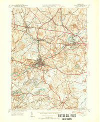
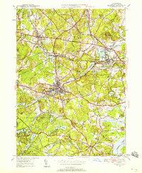
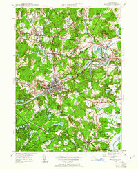
Editions of this 1950 Maynard Map
4 editions found
Other maps of this area

1886 · Lowell
USGS Topo · 1:62,500

1886 · Framingham
USGS Topo · 1:62,500

1887 · Marlboro
USGS Topo · 1:62,500

1889 · Marlboro
USGS Topo · 1:62,500

1889 · Framingham
USGS Topo · 1:62,500
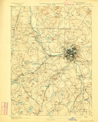
1893 · Lowell
USGS Topo · 1:62,500
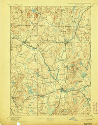
1893 · Groton
USGS Topo · 1:62,500

1894 · Framingham
USGS Topo · 1:62,500
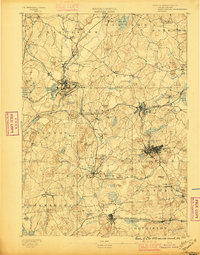
1896 · Marlboro
USGS Topo · 1:62,500
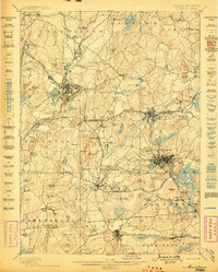
1898 · Marlboro
USGS Topo · 1:62,500