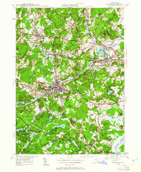
1950 Map of Maynard
USGS Topo · Published 1961About this map
The mid-century industrial and residential landscape of central Middlesex County is defined here by the convergence of the Assabet River and two major rail lines. The Boston and Maine RR and New York New Haven and Hartford RR cross paths in West Concord, where the Concord Reformatory stands as a significant landmark. The town of Maynard appears as a densely developed hub along the riverbanks, featuring local landmarks like St Bridgets Ch and the Maynard Country Club.
Find a feature on this map
70 named features on this map. Tap any name to fly to it.
Don’t see what you’re looking for? This feature index may not catch every label — zoom into the map to look around manually.
Map Details
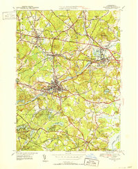
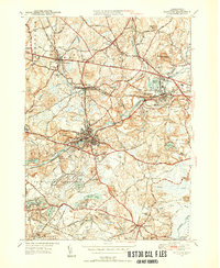
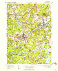
Editions of this 1950 Maynard Map
4 editions found
Other maps of this area

1886 · Lowell
USGS Topo · 1:62,500

1886 · Framingham
USGS Topo · 1:62,500

1887 · Marlboro
USGS Topo · 1:62,500

1889 · Marlboro
USGS Topo · 1:62,500

1889 · Framingham
USGS Topo · 1:62,500

1893 · Lowell
USGS Topo · 1:62,500

1893 · Groton
USGS Topo · 1:62,500

1894 · Framingham
USGS Topo · 1:62,500

1896 · Marlboro
USGS Topo · 1:62,500

1898 · Marlboro
USGS Topo · 1:62,500