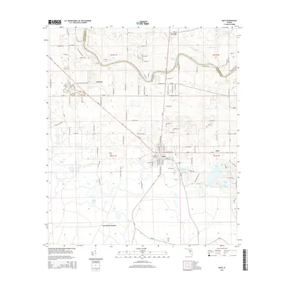
2015 Map of Mayo
USGS Topo · Published 2015About this map
The Suwannee River carves the northern border of this North Florida landscape, defining the boundary between Lafayette and Suwannee counties. Near the river's bend, groundwater systems are evident through numerous named springs and sloughs, including Peacock Springs and Telford Spring. The town of Mayo serves as a central hub, surrounded by a network of smaller communities like Alton and Luraville.
Find a feature on this map
138 named features on this map. Tap any name to fly to it.
Don’t see what you’re looking for? This feature index may not catch every label — zoom into the map to look around manually.
Map Details
Editions of this 2015 Mayo Map
This is the sole edition of this map. No revisions or reprints were ever made.
Other maps of this area

1954 · Mallory Swamp NW
USGS Topo · 1:24,000

1954 · Day SE
USGS Topo · 1:24,000

1954 · Day
USGS Topo · 1:24,000

1954 · Cooks Hammock
USGS Topo · 1:24,000

1954 · Dowling Park
USGS Topo · 1:24,000

1954 · Mallory Swamp NE
USGS Topo · 1:24,000

1954 · Gainesville
USGS Topo · 1:250,000

1954 · Valdosta
USGS Topo · 1:250,000

1955 · Mayo NE
USGS Topo · 1:24,000

1955 · Mayo
USGS Topo · 1:24,000