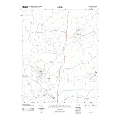
2010 Map of Mayodan
USGS Topo · Published 2010About this map
The Mayo River and Dan River converge near the textile and tobacco town of Mayodan, providing the geographic heart of this Rockingham County landscape. The mapping shows a corridor of industry and transport, where the Mayodan Post Office and the Mayo Airport anchor the local infrastructure. Along the riverbanks, significant landmarks include the Madison Covered Bridge and the Avalon Dam, reflecting the historical reliance on these waterways for power and transit.
Find a feature on this map
88 named features on this map. Tap any name to fly to it.
Don’t see what you’re looking for? This feature index may not catch every label — zoom into the map to look around manually.
Map Details
Editions of this 2010 Mayodan Map
This is the sole edition of this map. No revisions or reprints were ever made.
Other maps of this area

1924 · Martinsville
USGS Topo · 1:48,000

1926 · Martinsville
USGS Topo · 1:62,500

1926 · Critz
USGS Topo · 1:48,000

1927 · Martinsville
USGS Topo · 1:62,500

1928 · Critz
USGS Topo · 1:62,500

1944 · Martinsville
USGS Topo · 1:62,500

1953 · Winston-Salem
USGS Topo · 1:250,000

1953 · Greensboro
USGS Topo · 1:250,000

1954 · Greensboro
USGS Topo · 1:250,000

1955 · Winston-Salem
USGS Topo · 1:250,000