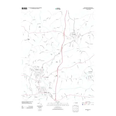
2013 Map of Mayodan
USGS Topo · Published 2013About this map
Madison and Mayodan anchor the southern portion of this Rockingham County landscape, where the confluence of the Mayo River and the Dan River historically drove the local textile economy and settlement patterns. The map detail highlights the urban grid of Madison, reaching down to Idol Park along the riverbank, and the neighboring industrial layout of Mayodan. Northward, the town of Stoneville serves as another primary hub, connected by a network of rural roads such as Brushy Mountain Rd and Nickel Plate Rd.
Find a feature on this map
218 named features on this map. Tap any name to fly to it.
Don’t see what you’re looking for? This feature index may not catch every label — zoom into the map to look around manually.
Map Details
Editions of this 2013 Mayodan Map
This is the sole edition of this map. No revisions or reprints were ever made.
Other maps of this area

1924 · Martinsville
USGS Topo · 1:48,000

1926 · Martinsville
USGS Topo · 1:62,500

1926 · Critz
USGS Topo · 1:48,000

1927 · Martinsville
USGS Topo · 1:62,500

1928 · Critz
USGS Topo · 1:62,500

1944 · Martinsville
USGS Topo · 1:62,500

1953 · Winston-Salem
USGS Topo · 1:250,000

1953 · Greensboro
USGS Topo · 1:250,000

1954 · Greensboro
USGS Topo · 1:250,000

1955 · Winston-Salem
USGS Topo · 1:250,000