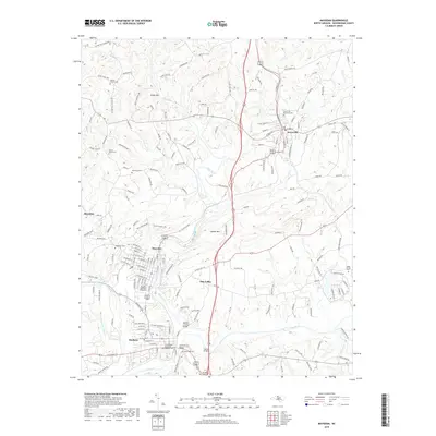
2019 Map of Mayodan
USGS Topo · Published 2019About this map
The confluence of the Mayo River and the Dan River defines the landscape surrounding the established textile and tobacco towns of northern Rockingham County. In the southern portion of this region, Madison and Mayodan represent a significant cluster of industrial and residential history, with numerous local landmarks like the Madison Covered Bridge and the Mayodan Moravian Graveyard. Further north, Stoneville sits near the upper reaches of the river system, serving as another anchor for the surrounding rural communities. The terrain transitions from the lowlands of Dan Valley to more prominent rises such as Brush Mtn and Cedder Mtn. Genealogists will find a wealth of burial grounds throughout the area, from the Stoneville Municipal Cem to smaller family and community plots including Beaver Island Cem and Glenns Chapel Cem. Bridges such as Lindsays Bridge and Collins Bridge highlight the historical importance of river crossings in connecting these Piedmont settlements.
Find a feature on this map
170 named features on this map. Tap any name to fly to it.
Don’t see what you’re looking for? This feature index may not catch every label — zoom into the map to look around manually.
Map Details
Editions of this 2019 Mayodan Map
This is the sole edition of this map. No revisions or reprints were ever made.
Other maps of this area

1924 · Martinsville
USGS Topo · 1:48,000

1926 · Martinsville
USGS Topo · 1:62,500

1926 · Critz
USGS Topo · 1:48,000

1927 · Martinsville
USGS Topo · 1:62,500

1928 · Critz
USGS Topo · 1:62,500

1944 · Martinsville
USGS Topo · 1:62,500

1953 · Winston-Salem
USGS Topo · 1:250,000

1953 · Greensboro
USGS Topo · 1:250,000

1954 · Greensboro
USGS Topo · 1:250,000

1955 · Winston-Salem
USGS Topo · 1:250,000