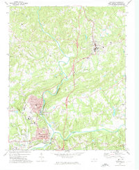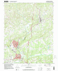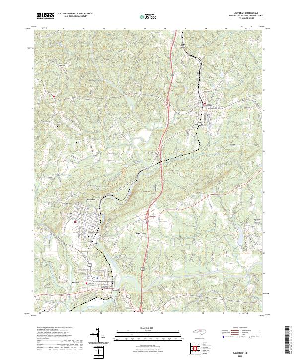
2022 Map of Mayodan
USGS Topo · Published 2022About this map
The confluence of the Mayo River and the Dan River anchors this landscape in Rockingham County, where the industrial and textile history of Mayodan and Madison remains evident in the street grids and riverfront positioning. The terrain is defined by the steady rise of Brush Mtn and Cedder Mtn, which frame the valley floor and dictate the path of old transit routes like Sisk Mill Loop and Lindsey Bridge Rd. For genealogists, the map is particularly dense with burial sites, including the Mayodan-Moravian Graveyard and several prominent churchyards such as the First Baptist Church of Madison Cem. Northward, the town of Stoneville sits near the Stoneville Municipal Cem, marking the northern extent of this river-valley corridor. Smaller watercourses like Beaver Creek and Hogans Cr carve through the surrounding hills, illustrating the drainage patterns that once powered local milling operations.
Find a feature on this map
166 named features on this map. Tap any name to fly to it.
Don’t see what you’re looking for? This feature index may not catch every label — zoom into the map to look around manually.
Map Details
Editions of this 2022 Mayodan Map
This is the sole edition of this map. No revisions or reprints were ever made.
Historical Maps of Idol Park Through Time
3 maps found