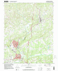
1997 Map of Mayodan
USGS Topo · Published 2000About this map
The Mayo River and Dan River converge in this late 20th-century landscape, framing the industrial and residential centers of Mayodan and Madison. This area of Rockingham County exhibits a dense network of civic and religious landmarks, including Glens Chapel, Joyce Chapel, and the Llewellyn Cem. The Norfolk and Western line parallels the water, tracing the historical importance of the river valleys for transport and industry.
Find a feature on this map
56 named features on this map. Tap any name to fly to it.
Don’t see what you’re looking for? This feature index may not catch every label — zoom into the map to look around manually.
Map Details
Editions of this 1997 Mayodan Map
This is the sole edition of this map. No revisions or reprints were ever made.
Other maps of this area

1924 · Martinsville
USGS Topo · 1:48,000

1926 · Martinsville
USGS Topo · 1:62,500

1926 · Critz
USGS Topo · 1:48,000

1927 · Martinsville
USGS Topo · 1:62,500

1928 · Critz
USGS Topo · 1:62,500

1944 · Martinsville
USGS Topo · 1:62,500

1953 · Winston-Salem
USGS Topo · 1:250,000

1953 · Greensboro
USGS Topo · 1:250,000

1954 · Greensboro
USGS Topo · 1:250,000

1955 · Winston-Salem
USGS Topo · 1:250,000