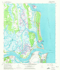
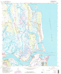
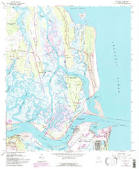
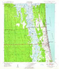
1964 Map of Mayport
USGS Topo · Published 1972About this map
Fort George Island and its surrounding marshlands anchor this mid-1960s coastal survey, revealing a landscape defined by significant historical preservation and maritime utility. The map documents the Kingsley Plantation (State Historical Memorial) and the Zephaniah Kingsley House (State Historical Memorial), highlighting the area's transition from an 18th-century plantation economy to a site of public memory. To the south, across the St Johns River, the Naval Station and Mayport harbor indicate the region's strategic importance. The complex hydrology of Sisters Creek, the Intracoastal Waterway, and Fort George Inlet illustrates the shifting sands and tidal flats of the Florida coastline. Inland, smaller settlements like Cedar Point and Braddock sit amidst Cabbage Hammock Swamp and Greys Swamp, while local genealogy is represented by Talbot Island Cem and Anderson Cem.
Find a feature on this map
74 named features on this map. Tap any name to fly to it.
Don’t see what you’re looking for? This feature index may not catch every label — zoom into the map to look around manually.
Map Details
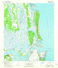
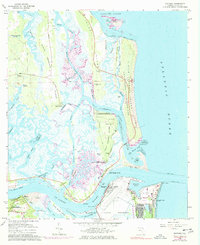
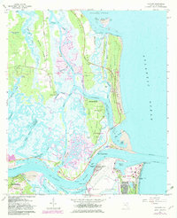
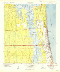
Editions of this 1964 Mayport Map
6 editions found
Other maps of this area

1918 · St Marys
USGS Topo · 1:62,500

1918 · Jacksonville
USGS Topo · 1:62,500
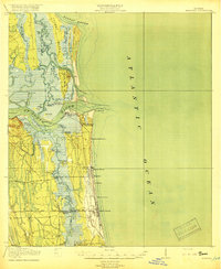
1918 · Mayport
USGS Topo · 1:62,500
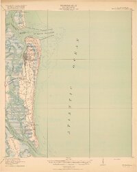
1919 · Fernandina
USGS Topo · 1:62,500

1919 · St Marys
USGS Topo · 1:62,500

1944 · Fernandina
USGS Topo · 1:62,500

1948 · Jacksonville
USGS Topo · 1:250,000
1948 · Jacksonville Beach
USGS Topo · 1:24,000

1948 · Eastport
USGS Topo · 1:24,000
1949 · Jacksonville Beach
USGS Topo · 1:24,000
Featured Places
- Jacksonville, FL
- Mayport, Jacksonville
- East Mayport, Jacksonville
- Fort George Island, Jacksonville
- Duval County, FL