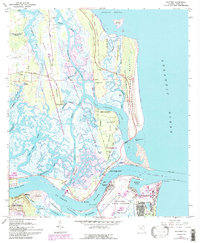
1964 Map of Mayport
USGS Topo · Published 1992About this map
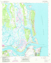
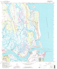
Kingsley Plantation and the surrounding coastal marshlands dominate this 1964 survey of the Florida coast, revised with details through the late 1980s. The landscape is a complex network of barrier islands and tidal waterways, from Nassau Sound in the north to the mouth of the St Johns River. This area serves as a critical junction for maritime activity, featuring the expansive Mayport Naval Station and the Intracoastal Waterway cutting through the Timucuan National Ecological and Historic Preserve.
Find a feature on this map
85 named features on this map. Tap any name to fly to it.
Don’t see what you’re looking for? This feature index may not catch every label — zoom into the map to look around manually.
Map Details
Editions of this 1964 Mayport Map
6 editions found
Other maps of this area

1918 · St Marys
USGS Topo · 1:62,500

1918 · Jacksonville
USGS Topo · 1:62,500

1918 · Mayport
USGS Topo · 1:62,500

1919 · Fernandina
USGS Topo · 1:62,500

1919 · St Marys
USGS Topo · 1:62,500

1944 · Fernandina
USGS Topo · 1:62,500

1948 · Jacksonville
USGS Topo · 1:250,000

1948 · Jacksonville Beach
USGS Topo · 1:24,000

1948 · Eastport
USGS Topo · 1:24,000

1949 · Jacksonville Beach
USGS Topo · 1:24,000
Featured Places
- Jacksonville, FL
- Mayport, Jacksonville
- East Mayport, Jacksonville
- Fort George Island, Jacksonville
- Duval County, FL