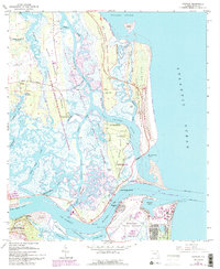
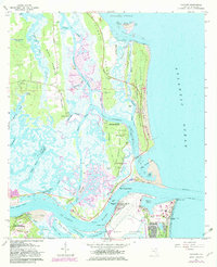
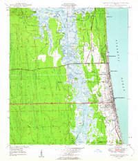
1964 Map of Mayport
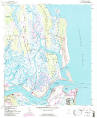
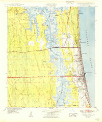
USGS Topo · Published 1992About this map
Fort George Island and the coastal marshes of the St Johns River define this coastal landscape as it appeared in the mid-20th century. The area is dense with historical sites, ranging from the Kingsley Plantation on the northern end of the island to the Ribault Monument and Fort Caroline National Memorial to the southwest. The settlement of Mayport sits at the river's mouth, overshadowed by the expansive Mayport Naval Station and its turning basin.
Find a feature on this map
75 named features on this map. Tap any name to fly to it.
Don’t see what you’re looking for? This feature index may not catch every label — zoom into the map to look around manually.
Map Details
Editions of this 1964 Mayport Map
6 editions found
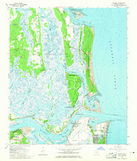
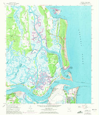
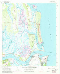
Other maps of this area

1918 · St Marys
USGS Topo · 1:62,500

1918 · Jacksonville
USGS Topo · 1:62,500
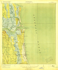
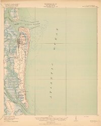
1918 · Mayport
USGS Topo · 1:62,500
1919 · Fernandina
USGS Topo · 1:62,500

1919 · St Marys
USGS Topo · 1:62,500

1944 · Fernandina
USGS Topo · 1:62,500

1948 · Jacksonville
USGS Topo · 1:250,000
1948 · Jacksonville Beach
USGS Topo · 1:24,000

1948 · Eastport
USGS Topo · 1:24,000
1949 · Jacksonville Beach
USGS Topo · 1:24,000
Featured Places
- Jacksonville, FL
- Mayport, Jacksonville
- East Mayport, Jacksonville
- Fort George Island, Jacksonville
- Duval County, FL