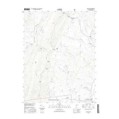
2016 Map of Maysville
USGS Topo · Published 2016About this map
Knobly Mountain and New Creek Mtn dominate this Grant County landscape, defining the narrow valleys where the north and south forks of Lunice Creek converge. The settlement of Maysville sits near Mays Gap in the north, while the southern edge of the map reaches the outskirts of Petersburg, including Town Hill and Ft Hill. For those tracing local history, the map identifies family-named hollows and gaps such as Keplinger Hollow, Opossum Hollow, and Kline Gap, alongside smaller communities like Streby and Kline. The southern portion contains the Monongahela National Forest boundary and burial sites at Mount Hebron Cem and South Branch Memorial Gardens. This modern survey also highlights the American Discovery Trail as it winds through the ridges, providing a detailed look at the rural road network connecting these mountain gaps.
Find a feature on this map
70 named features on this map. Tap any name to fly to it.
Don’t see what you’re looking for? This feature index may not catch every label — zoom into the map to look around manually.
Map Details
Editions of this 2016 Maysville Map
This is the sole edition of this map. No revisions or reprints were ever made.
Other maps of this area

1892 · Franklin
USGS Topo · 1:125,000

1895 · Piedmont
USGS Topo · 1:125,000

1896 · Franklin
USGS Topo · 1:125,000

1916 · Davis
USGS Topo · 1:48,000

1918 · Davis
USGS Topo · 1:62,500

1919 · Davis
USGS Topo · 1:62,500

1920 · Davis
USGS Topo · 1:48,000

1920 · Petersburg
USGS Topo · 1:48,000

1920 · Onego
USGS Topo · 1:62,500

1921 · Petersburg
USGS Topo · 1:48,000