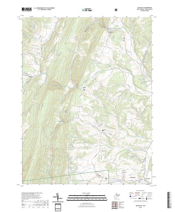
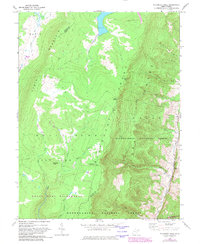
2023 Map of Maysville
USGS Topo · Published 2023About this map
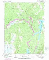
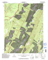
New Creek Mountain and Knobly Mountain dominate this landscape, creating a series of dramatic gaps and hollows where small settlements have taken root. Maysville sits in the north at the junction of several routes, while the southern edge shows the northern outskirts of Petersburg and the community of Town Hill along the South Branch Potomac River. The drainage patterns of North Fork Lunice Creek and South Fork Lunice Creek converge near the center of the quadrangle, illustrating the complex topography of the Ridge-and-Valley province.
Find a feature on this map
79 named features on this map. Tap any name to fly to it.
Don’t see what you’re looking for? This feature index may not catch every label — zoom into the map to look around manually.
Map Details
Editions of this 2023 Maysville Map
This is the sole edition of this map. No revisions or reprints were ever made.
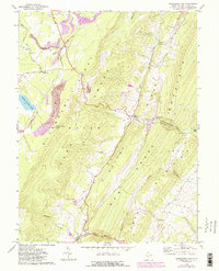
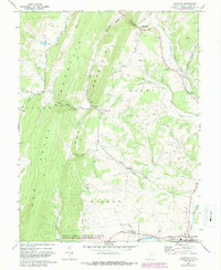
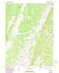
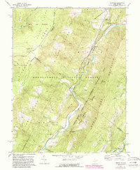
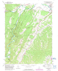
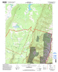
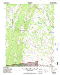
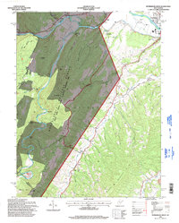
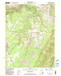
Historical Maps of Town Hill Through Time
24 maps found
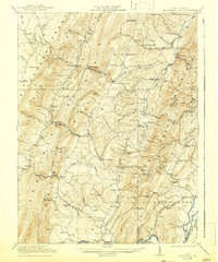
1921 Greenland Gap
Grant County, WV
1949 Mount Storm
Grant County, WV
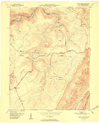
1951 Mount Storm
Grant County, WV
1967 Blackbird Knob
Grant County, WV
1967 Greenland Gap
Grant County, WV
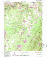
1967 Maysville
Grant County, WV
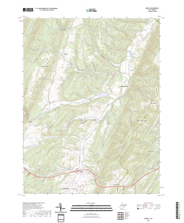
1967 Medley
Grant County, WV
1967 Mount Storm Lake
Grant County, WV
1969 Hopeville
Grant County, WV
1969 Petersburg West
Grant County, WV
1995 Blackbird Knob
Grant County, WV
1995 Hopeville
Grant County, WV
1995 Maysville
Grant County, WV
1995 Petersburg West
Grant County, WV
1997 Mount Storm
Grant County, WV
1997 Mount Storm Lake
Grant County, WV
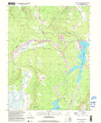
2023 Blackbird Knob
Grant County, WV
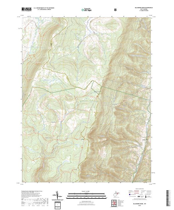
2023 Greenland Gap
Grant County, WV
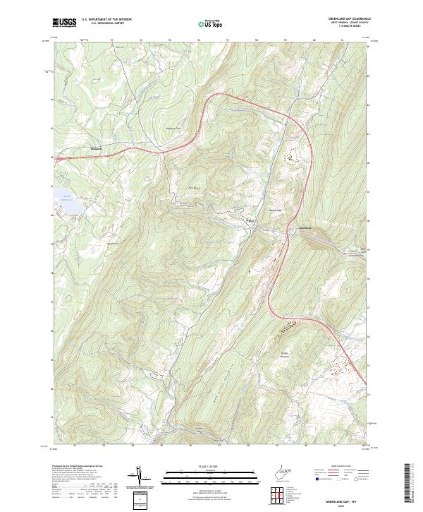
2023 Hopeville
Grant County, WV
2023 Maysville
Grant County, WV
2023 Medley
Grant County, WV
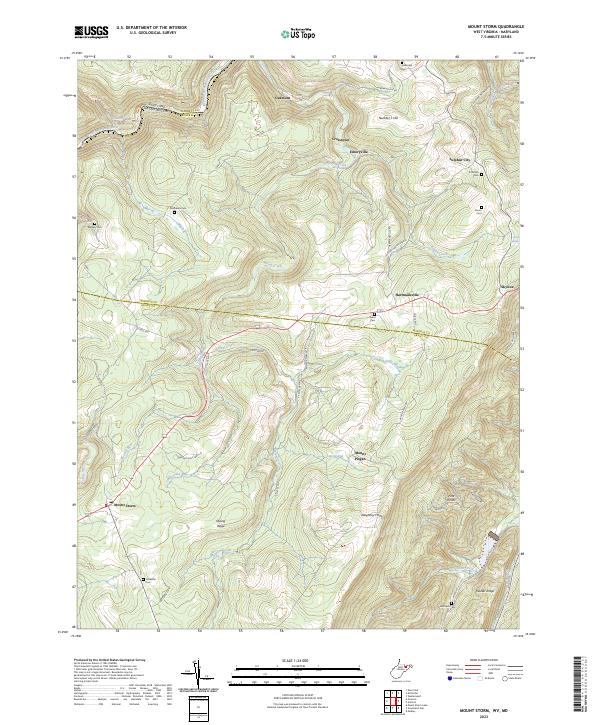
2023 Mount Storm
Grant County, WV
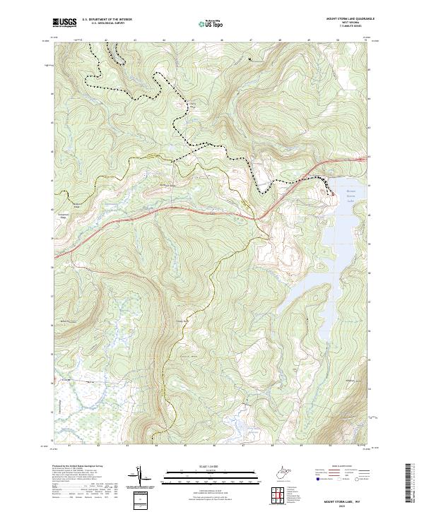
2023 Mount Storm Lake
Grant County, WV
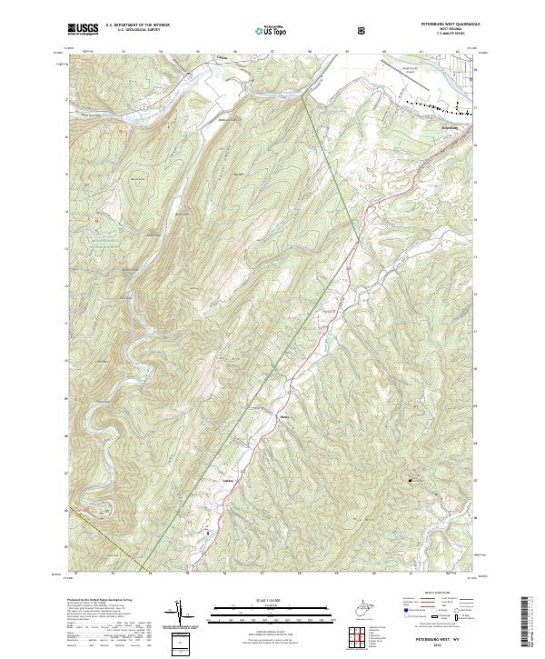
2023 Petersburg West
Grant County, WV