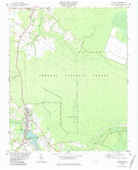
1984 Map of Maysville
USGS Topo · Published 1984About this map
Maysville and Belgrade anchor this 1984 survey, situated along the White Oak River at the junction of the Jones and Onslow County line. The landscape is defined by the massive expanse of the Croatan National Forest, which blankets much of the eastern and central portion of the quadrangle. Transport and commerce are tied to the Seaboard railroad line, which runs north-south through settlements like Ravenswood, Curtis, and Guyed.
Find a feature on this map
23 named features on this map. Tap any name to fly to it.
Don’t see what you’re looking for? This feature index may not catch every label — zoom into the map to look around manually.
Map Details
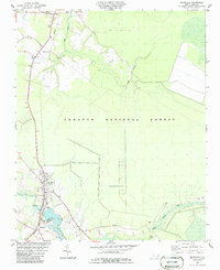
Editions of this 1984 Maysville Map
2 editions found
Other maps of this area

1901 · New Bern
USGS Topo · 1:62,500

1903 · New Bern
USGS Topo · 1:62,500

1903 · Trent River
USGS Topo · 1:62,500

1904 · Trent River
USGS Topo · 1:62,500

1942 · Maysville
USGS Topo · 1:62,500

1943 · Jacksonville
USGS Topo · 1:62,500

1948 · Maysville
USGS Topo · 1:62,500

1950 · Pollocksville
USGS Topo · 1:24,000

1950 · New Bern
USGS Topo · 1:24,000

1953 · Rocky Mount
USGS Topo · 1:250,000