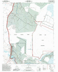
1994 Map of Maysville
USGS Topo · Published 1997About this map
The White Oak River serves as a defining boundary for the Maysville and Pollocksville area, marking the western edge of the sprawling Croatan National Forest. This mid-1990s environment is characterized by the transition from the riverfront settlements and agricultural lands of Jones County and Onslow County into the dense, managed wetlands of the South Wilderness. Key landmarks include religious centers like Temple Zions Chapel and Lees Methodist Chapel, alongside the small communities of Ravenswood and Belgrade.
Find a feature on this map
34 named features on this map. Tap any name to fly to it.
Don’t see what you’re looking for? This feature index may not catch every label — zoom into the map to look around manually.
Map Details
Editions of this 1994 Maysville Map
2 editions found
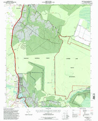
Other maps of this area

1901 · New Bern
USGS Topo · 1:62,500

1903 · New Bern
USGS Topo · 1:62,500

1903 · Trent River
USGS Topo · 1:62,500

1904 · Trent River
USGS Topo · 1:62,500

1942 · Maysville
USGS Topo · 1:62,500

1943 · Jacksonville
USGS Topo · 1:62,500

1948 · Maysville
USGS Topo · 1:62,500

1950 · Pollocksville
USGS Topo · 1:24,000

1950 · New Bern
USGS Topo · 1:24,000

1953 · Rocky Mount
USGS Topo · 1:250,000