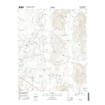
2014 Map of Maysville
USGS Topo · Published 2014About this map
Maysville and the Flint River corridor define this part of Madison County, where the agricultural landscape meets the rising elevations of Berry Mtn and Lewis Mtn. The map reveals a dense network of family history markers, including the Antioch Primitive Baptist Cem and numerous smaller burial grounds like the Daniel Lawler Cem and Acklin Derrick Cem. Industrial and community heritage is evident in the naming of Bell Factory and McCaleb Mill, suggesting early reliance on local waterways for commerce. The terrain is marked by significant geographic features such as Wortham Mill Island and the large Madison County Lake, while the eastern portion of the quadrangle rises toward Potato Knob and the various hollows of the Nance Mountain range. Small crossroads like Saint Clair Store and Buckhorn illustrate the dispersed rural settlement pattern that persists alongside modern residential developments.
Find a feature on this map
215 named features on this map. Tap any name to fly to it.
Don’t see what you’re looking for? This feature index may not catch every label — zoom into the map to look around manually.
Map Details
Editions of this 2014 Maysville Map
This is the sole edition of this map. No revisions or reprints were ever made.
Other maps of this area

1888 · Scottsboro
USGS Topo · 1:125,000

1888 · Huntsville
USGS Topo · 1:125,000

1892 · Huntsville
USGS Topo · 1:125,000

1892 · Scottsboro
USGS Topo · 1:125,000

1936 · King Cove
USGS Topo · 1:24,000

1936 · Meridianville
USGS Topo · 1:24,000

1936 · Moontown
USGS Topo · 1:24,000

1936 · Fisk
USGS Topo · 1:24,000

1936 · Hollytree
USGS Topo · 1:24,000

1936 · Maysville
USGS Topo · 1:24,000