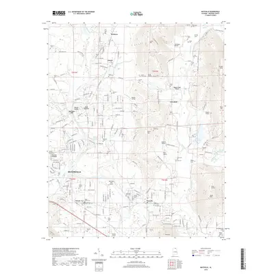
2018 Map of Maysville
USGS Topo · Published 2018About this map
Huntsville and its northeastern fringes are defined by a complex landscape of sharp ridges and winding waterways. The Flint River meanders through the central terrain, anchoring historic sites like Bell Factory and Wortham Mill Island. This area in Madison County is dotted with numerous family cemeteries, such as the Acklin-Derrick Cem and the Steger-Ormond Cem, which provide a detailed record of the families who settled this region of Alabama.
Find a feature on this map
156 named features on this map. Tap any name to fly to it.
Don’t see what you’re looking for? This feature index may not catch every label — zoom into the map to look around manually.
Map Details
Editions of this 2018 Maysville Map
This is the sole edition of this map. No revisions or reprints were ever made.
Other maps of this area

1888 · Scottsboro
USGS Topo · 1:125,000

1888 · Huntsville
USGS Topo · 1:125,000

1892 · Huntsville
USGS Topo · 1:125,000

1892 · Scottsboro
USGS Topo · 1:125,000

1936 · King Cove
USGS Topo · 1:24,000

1936 · Meridianville
USGS Topo · 1:24,000

1936 · Moontown
USGS Topo · 1:24,000

1936 · Fisk
USGS Topo · 1:24,000

1936 · Hollytree
USGS Topo · 1:24,000

1936 · Maysville
USGS Topo · 1:24,000