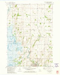
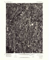
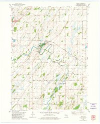
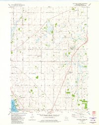
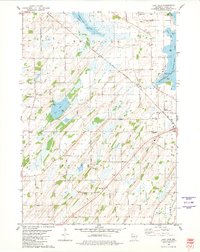
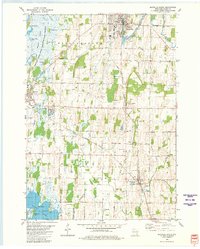
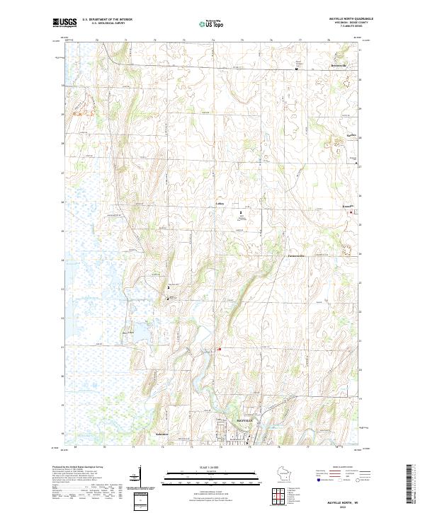
1981 Map of Mayville North
USGS Topo · Published 1981About this map
The vast wetland complex of the Horicon National Wildlife Refuge dominates the western half of this Dodge County landscape, where the Rock River and East Branch Rock River converge near the community of Kekoskee. This 1981 survey reveals a transition from the marshy lowlands, defined by drainage features like Lehners Ditch and Townline Ditch, to the agricultural uplands of LeRoy and Williamstown. Smaller settlements such as Farmersville and Knowles serve as local hubs, while the extractive industry is evident in the numerous quarries and a gravel pit dotting the eastern ridges.
Find a feature on this map
70 named features on this map. Tap any name to fly to it.
Don’t see what you’re looking for? This feature index may not catch every label — zoom into the map to look around manually.
Map Details
Editions of this 1981 Mayville North Map
This is the sole edition of this map. No revisions or reprints were ever made.
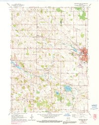
Historical Maps of Mayville Through Time
21 maps found
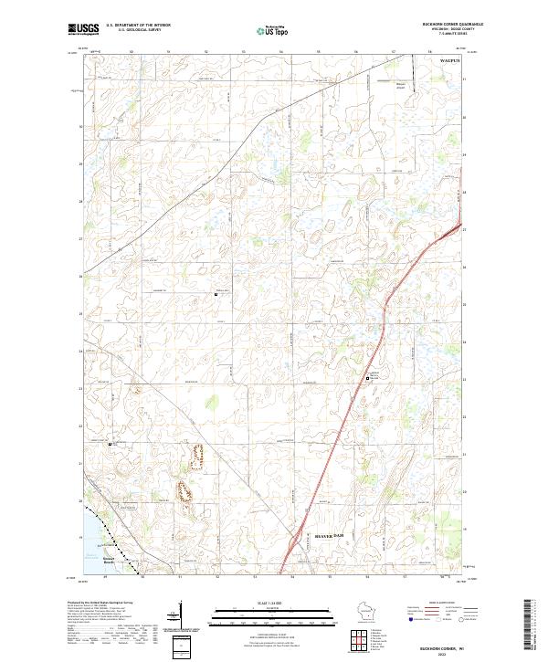
1959 Hartford West
Dodge County, WI
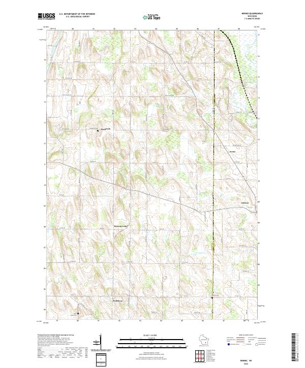
1959 Nenno
Dodge County, WI
1975 Beaver Dam NE
Dodge County, WI
1975 Horicon NE
Dodge County, WI
1975 Horicon NW
Dodge County, WI
1975 Waupun SE
Dodge County, WI
1975 Waupun SW
Dodge County, WI
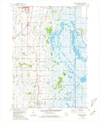
1980 Astico
Dodge County, WI
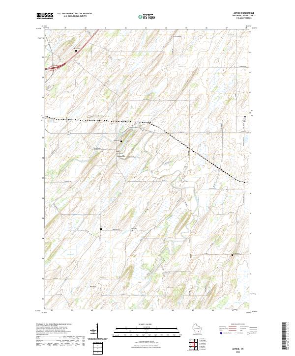
1980 Buckhorn Corner
Dodge County, WI
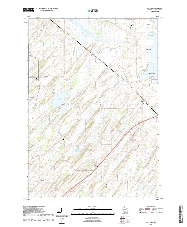
1980 Lost Lake
Dodge County, WI
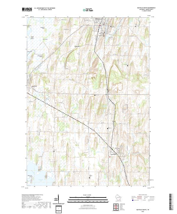
1980 Mayville South
Dodge County, WI
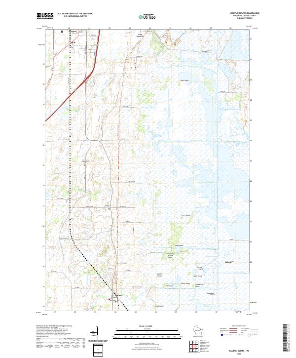
1980 Waupun South
Dodge County, WI
1981 Mayville North
Dodge County, WI
2022 Astico
Dodge County, WI
2022 Buckhorn Corner
Dodge County, WI
2022 Hartford West
Dodge County, WI
2022 Lost Lake
Dodge County, WI
2022 Mayville North
Dodge County, WI
2022 Mayville South
Dodge County, WI
2022 Nenno
Dodge County, WI
2022 Waupun South
Dodge County, WI