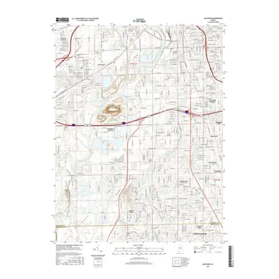
2016 Map of Maywood
USGS Topo · Published 2016About this map
The White River and its intricate network of drainage ditches and creeks, such as Mars Ditch and Haueisen Ditch, define the landscape south of downtown Indianapolis. This detailed survey captures the residential expansion and suburban identity of southern Marion County, where established neighborhoods like Mars Hill and Maywood sit alongside institutional landmarks. Notable sites include the Lincoln Coll of Technology and several large burial grounds, such as Calvary Cem and the Hebrew Cem.
Find a feature on this map
60 named features on this map. Tap any name to fly to it.
Don’t see what you’re looking for? This feature index may not catch every label — zoom into the map to look around manually.
Map Details
Editions of this 2016 Maywood Map
This is the sole edition of this map. No revisions or reprints were ever made.
Other maps of this area

1948 · Indianapolis East
USGS Topo · 1:24,000

1948 · Maywood
USGS Topo · 1:24,000

1948 · Beech Grove
USGS Topo · 1:24,000

1948 · Indianapolis West
USGS Topo · 1:24,000

1952 · Bargersville
USGS Topo · 1:24,000

1953 · Greenwood
USGS Topo · 1:24,000

1953 · Bridgeport
USGS Topo · 1:24,000

1953 · Clermont
USGS Topo · 1:24,000

1953 · Indianapolis
USGS Topo · 1:250,000

1955 · Mooresville East
USGS Topo · 1:24,000
Featured Places
- Indianapolis, IN
- Greenwood, IN
- Southport, Indianapolis
- Homecroft, Indianapolis
- Glenns Valley, Indianapolis