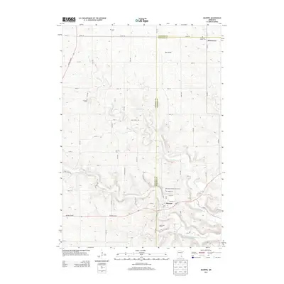
2013 Map of Mazeppa
USGS Topo · Published 2013About this map
The North Fork Zumbro River carves a deep, winding path through this portion of southeastern Minnesota, anchoring the village of Mazeppa. This 2013 survey shows a landscape defined by its agricultural roots and varied topography, where the plateau of Bear Valley meets the branching waters of Trout Brook. The community of Bellechester sits at the northeastern corner, straddling the county line. This map is particularly valuable for genealogists, as it documents several burial grounds including Saints Peter and Paul Catholic Cem, Grace Cem, and the Zumbrota E Cem. Land use is distinctly marked by commercial agricultural operations such as Apple Ridge Orchard and Pahl View Farm, while the local infrastructure centers on Highway 60 Blvd and the post office in the heart of Mazeppa.
Find a feature on this map
61 named features on this map. Tap any name to fly to it.
Don’t see what you’re looking for? This feature index may not catch every label — zoom into the map to look around manually.
Map Details
Editions of this 2013 Mazeppa Map
This is the sole edition of this map. No revisions or reprints were ever made.
Other maps of this area

1935 · Rochester
USGS Topo · 1:48,000

1939 · Rochester
USGS Topo · 1:62,500

1951 · Lake City
USGS Topo · 1:62,500

1953 · Saint Paul
USGS Topo · 1:250,000

1959 · Saint Paul
USGS Topo · 1:250,000

1965 · Oronoco
USGS Topo · 1:24,000

1965 · Pine Island
USGS Topo · 1:24,000

1968 · Goodhue East
USGS Topo · 1:24,000

1968 · Zumbrota
USGS Topo · 1:24,000

1968 · Mazeppa
USGS Topo · 1:24,000