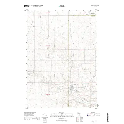
2019 Map of Mazeppa
USGS Topo · Published 2019About this map
The village of Mazeppa sits at the confluence of the N Fork Zumbro River and Trout Brook, serving as a focal point for this landscape along the border of Goodhue and Wabasha counties. The area's rural character is defined by a network of sectional roads and scattered farmsteads, punctuated by historic communities like Bellechester to the north and the settlement of Bear Valley to the east.
Find a feature on this map
47 named features on this map. Tap any name to fly to it.
Don’t see what you’re looking for? This feature index may not catch every label — zoom into the map to look around manually.
Map Details
Editions of this 2019 Mazeppa Map
This is the sole edition of this map. No revisions or reprints were ever made.
Other maps of this area

1935 · Rochester
USGS Topo · 1:48,000

1939 · Rochester
USGS Topo · 1:62,500

1951 · Lake City
USGS Topo · 1:62,500

1953 · Saint Paul
USGS Topo · 1:250,000

1959 · Saint Paul
USGS Topo · 1:250,000

1965 · Oronoco
USGS Topo · 1:24,000

1965 · Pine Island
USGS Topo · 1:24,000

1968 · Goodhue East
USGS Topo · 1:24,000

1968 · Zumbrota
USGS Topo · 1:24,000

1968 · Mazeppa
USGS Topo · 1:24,000