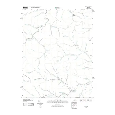
2010 Map of Mazie
USGS Topo · Published 2010About this map
Mazie and the rural communities of Lawrence County are defined by the intricate winding of the Right Fork Blaine Creek and the Left Fork Blaine Creek. The settlement pattern follows these narrow valley floors, with small hubs like Sarah, Fielden, and Blevins serving as landmarks within a landscape of steep Kentucky ridges. Family history is deeply rooted here, evidenced by numerous hillside burials including the Hay Cemetery, Sparks Cemetery, and several family-named plots such as the Jason Boggs Cemetery and Dave Boggs Cemetery.
Find a feature on this map
79 named features on this map. Tap any name to fly to it.
Don’t see what you’re looking for? This feature index may not catch every label — zoom into the map to look around manually.
Map Details
Editions of this 2010 Mazie Map
This is the sole edition of this map. No revisions or reprints were ever made.
Other maps of this area

1886 · Prestonsburg
USGS Topo · 1:125,000

1889 · Salyersville
USGS Topo · 1:125,000

1891 · Salyersville
USGS Topo · 1:125,000

1892 · Prestonsburg
USGS Topo · 1:125,000

1899 · Salyersville
USGS Topo · 1:125,000

1903 · Kenova
USGS Topo · 1:125,000

1904 · Kenova
USGS Topo · 1:125,000

1915 · Paintsville
USGS Topo · 1:48,000

1917 · Paintsville
USGS Topo · 1:62,500

1950 · Bruin
USGS Topo · 1:24,000