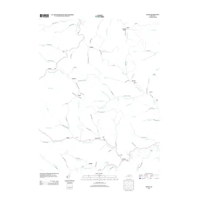
2013 Map of Mazie
USGS Topo · Published 2013About this map
Mazie and Martha serve as central points in this rural landscape, where the Right Fork Blaine Cr and Left Fork Blaine Cr converge. The area is defined by its deep genealogical roots, visible through a high density of family burial grounds such as Hay Cem, Sparks Cem, and Dobyns Cem. Smaller communities like Skaggs, Sarah, and Blevins are connected by a network of winding roads, including Wallow Hole School Rd and Coal Mine Rd, which hint at the region's historic local industries. To the north, the terrain is drained by the Little Fork Little Sandy River, flowing past the settlement of Culver. The presence of several Boggs family landmarks, including Jason Boggs Cem and Ran Boggs Cem, suggests a long-standing familial connection to these Appalachian hollows and ridges.
Find a feature on this map
104 named features on this map. Tap any name to fly to it.
Don’t see what you’re looking for? This feature index may not catch every label — zoom into the map to look around manually.
Map Details
Editions of this 2013 Mazie Map
This is the sole edition of this map. No revisions or reprints were ever made.
Other maps of this area

1886 · Prestonsburg
USGS Topo · 1:125,000

1889 · Salyersville
USGS Topo · 1:125,000

1891 · Salyersville
USGS Topo · 1:125,000

1892 · Prestonsburg
USGS Topo · 1:125,000

1899 · Salyersville
USGS Topo · 1:125,000

1903 · Kenova
USGS Topo · 1:125,000

1904 · Kenova
USGS Topo · 1:125,000

1915 · Paintsville
USGS Topo · 1:48,000

1917 · Paintsville
USGS Topo · 1:62,500

1950 · Bruin
USGS Topo · 1:24,000